Area Overview for B67 5NN
Photos of B67 5NN
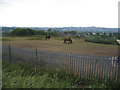
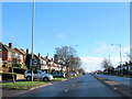
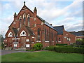
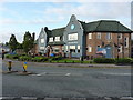
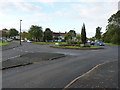
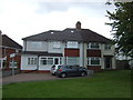
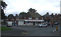
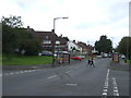
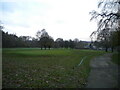
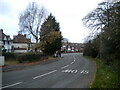
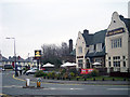
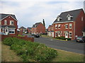
17 photos from this area
Area Information
Key information about the B67 5NN including its size, population, and administrative classification.
- Area Type
- Postcode
- Area Size
- 1.3 hectares
- Population
- 1455
- Population Density
- 1966 people/km²
House Prices in B67 5NN
14
Properties
£216,532
Average Sold Price
£65,000
Lowest Price
£584,500
Highest Price
Showing 14 properties
| Address | Type | Beds | Baths | Last Sale Price | Last Sale Date | |
|---|---|---|---|---|---|---|
| 221 Abbey Road, Smethwick, B67 5NN | Semi-detached | 4 | 3 | £584,500 | Apr 2024 | |
| 241 Abbey Road, Smethwick, B67 5NN | Terraced | 3 | 1 | £332,000 | Mar 2023 | |
| 229 Abbey Road, Smethwick, B67 5NN | Semi-detached | 3 | 1 | £249,950 | Jun 2016 | |
| 225 Abbey Road, Smethwick, B67 5NN | Semi-detached | 3 | - | £212,500 | Aug 2014 | |
| 223 Abbey Road, Smethwick, B67 5NN | Semi-detached | 4 | 3 | £185,000 | Oct 2011 | |
| 239 Abbey Road, Smethwick, B67 5NN | Semi-detached | - | - | £199,950 | Jul 2008 | |
| 247 Abbey Road, Smethwick, B67 5NN | Terraced | - | - | £165,000 | Nov 2005 | |
| 237 Abbey Road, Smethwick, B67 5NN | Semi-detached | 3 | 1 | £157,000 | Jul 2003 | |
| 245 Abbey Road, Smethwick, B67 5NN | Terraced | - | - | £135,000 | Jul 2003 | |
| 233 Abbey Road, Smethwick, B67 5NN | Semi-detached | - | - | £95,950 | Jun 2000 |
Page 1 of 2
Energy Efficiency in B67 5NN
Amenities
Schools
| Rank | School | Type | Entry gender | Ages |
|---|
Explore more schools in this area
Go to Schools tabDemographics
Household Size
Family (3-5 people)
most common
Accommodation Type
Houses
most common
Tenure
76
majority
Ethnic Group
White
most common
Religion
N/A
most common
Household Composition
N/A
most common
Age
47
median
Adults (30-64 years)
most common
Household Deprivation
N/A
with no deprivation
NS-SEC
49
in Lower managerial occupations
Explore more demographic insights in this area
Go to Demographics tabPlanning
Planning Constraints
- Flood RiskPremium
- Ramsar Wetland SitesPremium
- Area of Outstanding Natural BeautyPremium
- Protected Nature ReservePremium
- Protected WoodlandPremium