Area Overview for B66 4EH
Photos of B66 4EH
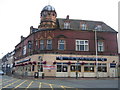
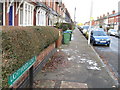
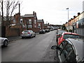
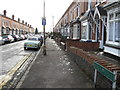
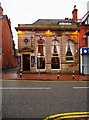
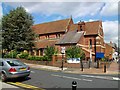
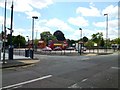
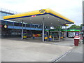
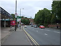
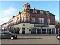
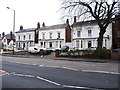
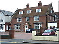
44 photos from this area
Area Information
Key information about the B66 4EH including its size, population, and administrative classification.
- Area Type
- Postcode
- Area Size
- 7899 m²
- Population
- Not available
- Population Density
- Not available
House Prices in B66 4EH
44
Properties
£109,066
Average Sold Price
£41,500
Lowest Price
£200,000
Highest Price
Showing 44 properties
| Address | Type | Beds | Baths | Last Sale Price | Last Sale Date | |
|---|---|---|---|---|---|---|
| 37 Dunsford Road, Smethwick, B66 4EH | Terraced | 2 | 1 | £193,000 | Jun 2023 | |
| 20 Dunsford Road, Smethwick, B66 4EH | Terraced | 2 | 1 | £200,000 | Feb 2023 | |
| 13 Dunsford Road, Smethwick, B66 4EH | house | - | - | £153,500 | Sep 2021 | |
| 2 Dunsford Road, Smethwick, B66 4EH | Terraced | 2 | - | £152,000 | Feb 2021 | |
| 1 Dunsford Road, Smethwick, B66 4EH | house | - | - | £135,000 | Dec 2020 | |
| 28 Dunsford Road, Smethwick, B66 4EH | Terraced | 3 | 1 | £191,000 | Dec 2020 | |
| 21 Dunsford Road, Smethwick, B66 4EH | Terraced | 2 | 1 | £161,100 | Aug 2020 | |
| 23 Dunsford Road, Smethwick, B66 4EH | Terraced | 2 | 1 | £150,000 | Sep 2019 | |
| 24 Dunsford Road, Smethwick, B66 4EH | Terraced | 2 | 1 | £134,950 | Jan 2018 | |
| 9 Dunsford Road, Smethwick, B66 4EH | Terraced | 2 | 1 | £127,500 | Feb 2017 |
Page 1 of 5
Energy Efficiency in B66 4EH
Amenities
Schools
| Rank | School | Type | Entry gender | Ages |
|---|
Explore more schools in this area
Go to Schools tabDemographics
Household Size
Two person
most common
Accommodation Type
Houses
most common
Tenure
46
majority
Ethnic Group
White
most common
Religion
N/A
most common
Household Composition
N/A
most common
Age
47
median
Adults (30-64 years)
most common
Household Deprivation
N/A
with no deprivation
NS-SEC
28
in Lower managerial occupations
Explore more demographic insights in this area
Go to Demographics tabPlanning
Planning Constraints
- Flood RiskPremium
- Ramsar Wetland SitesPremium
- Area of Outstanding Natural BeautyPremium
- Protected Nature ReservePremium
- Protected WoodlandPremium