Area Overview for B66 4ED
Photos of B66 4ED
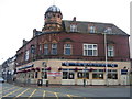
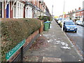
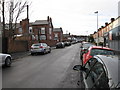
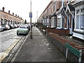
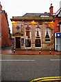
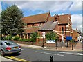
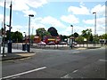
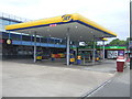
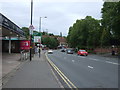
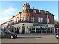
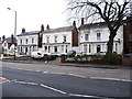
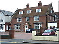
44 photos from this area
Area Information
Key information about the B66 4ED including its size, population, and administrative classification.
- Area Type
- Postcode
- Area Size
- 1.1 hectares
- Population
- Not available
- Population Density
- Not available
House Prices in B66 4ED
62
Properties
£121,610
Average Sold Price
£39,500
Lowest Price
£275,000
Highest Price
Showing 62 properties
| Address | Type | Beds | Baths | Last Sale Price | Last Sale Date | |
|---|---|---|---|---|---|---|
| 61 Richmond Road, Smethwick, B66 4ED | house | - | - | £275,000 | Jun 2024 | |
| 55 Richmond Road, Smethwick, B66 4ED | Terraced | 2 | 1 | £190,000 | Jun 2023 | |
| 48 Richmond Road, Smethwick, B66 4ED | house | 2 | - | £175,000 | Sep 2021 | |
| 40 Richmond Road, Smethwick, B66 4ED | Terraced | 2 | 1 | £175,500 | Aug 2021 | |
| 59 Richmond Road, Smethwick, B66 4ED | house | - | - | £185,000 | Jun 2021 | |
| 23 Richmond Road, Smethwick, B66 4ED | Terraced | 2 | 1 | £157,000 | Nov 2020 | |
| 29 Richmond Road, Smethwick, B66 4ED | Terraced | 2 | 1 | £180,000 | Feb 2020 | |
| 36 Richmond Road, Smethwick, B66 4ED | Terraced | 2 | 1 | £160,000 | Dec 2018 | |
| 14 Richmond Road, Smethwick, B66 4ED | Terraced | 2 | 1 | £149,950 | Oct 2018 | |
| 57 Richmond Road, Smethwick, B66 4ED | Terraced | - | - | £118,000 | Aug 2017 |
Page 1 of 7
Energy Efficiency in B66 4ED
Amenities
Schools
| Rank | School | Type | Entry gender | Ages |
|---|
Explore more schools in this area
Go to Schools tabDemographics
Household Size
Two person
most common
Accommodation Type
Houses
most common
Tenure
46
majority
Ethnic Group
White
most common
Religion
N/A
most common
Household Composition
N/A
most common
Age
47
median
Adults (30-64 years)
most common
Household Deprivation
N/A
with no deprivation
NS-SEC
28
in Lower managerial occupations
Explore more demographic insights in this area
Go to Demographics tabPlanning
Planning Constraints
- Flood RiskPremium
- Ramsar Wetland SitesPremium
- Area of Outstanding Natural BeautyPremium
- Protected Nature ReservePremium
- Protected WoodlandPremium