Area Overview for B66 4EL
Photos of B66 4EL

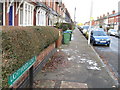
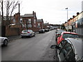
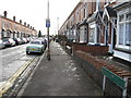

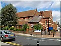
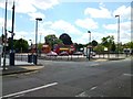

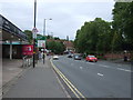
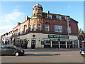
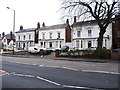
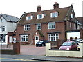
44 photos from this area
Area Information
Key information about the B66 4EL including its size, population, and administrative classification.
- Area Type
- Postcode
- Area Size
- 4238 m²
- Population
- Not available
- Population Density
- Not available
House Prices in B66 4EL
24
Properties
£111,567
Average Sold Price
£34,050
Lowest Price
£165,000
Highest Price
Showing 24 properties
| Address | Type | Beds | Baths | Last Sale Price | Last Sale Date | |
|---|---|---|---|---|---|---|
| 14 Belmont Road, Smethwick, B66 4EL | Terraced | 2 | 1 | £155,000 | Jan 2023 | |
| 12 Belmont Road, Smethwick, B66 4EL | Retail | 2 | 1 | £165,000 | Mar 2022 | |
| 2 Belmont Road, Smethwick, B66 4EL | house | - | - | £135,000 | Aug 2021 | |
| 19 Belmont Road, Smethwick, B66 4EL | Terraced | 3 | 1 | £163,000 | Nov 2020 | |
| 22 Belmont Road, Smethwick, B66 4EL | Flat | - | - | £140,000 | May 2019 | |
| 5 Belmont Road, Smethwick, B66 4EL | Terraced | 2 | 1 | £147,500 | Dec 2016 | |
| 1 Belmont Road, Smethwick, B66 4EL | Terraced | 2 | 1 | £102,000 | Oct 2016 | |
| 4 Belmont Road, Smethwick, B66 4EL | Terraced | 2 | - | £125,000 | Mar 2016 | |
| 20 Belmont Road, Smethwick, B66 4EL | Terraced | 2 | 1 | £110,000 | Jan 2015 | |
| 21 Belmont Road, Smethwick, B66 4EL | Terraced | 2 | - | £80,000 | Aug 2013 |
Page 1 of 3
Energy Efficiency in B66 4EL
Amenities
Schools
| Rank | School | Type | Entry gender | Ages |
|---|
Explore more schools in this area
Go to Schools tabDemographics
Household Size
Two person
most common
Accommodation Type
Houses
most common
Tenure
46
majority
Ethnic Group
White
most common
Religion
N/A
most common
Household Composition
N/A
most common
Age
47
median
Adults (30-64 years)
most common
Household Deprivation
N/A
with no deprivation
NS-SEC
28
in Lower managerial occupations
Explore more demographic insights in this area
Go to Demographics tabPlanning
Planning Constraints
- Flood RiskPremium
- Ramsar Wetland SitesPremium
- Area of Outstanding Natural BeautyPremium
- Protected Nature ReservePremium
- Protected WoodlandPremium