Area Overview for B47 6HE
Photos of B47 6HE
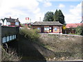
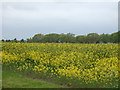
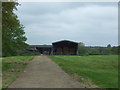
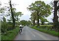
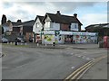
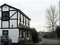
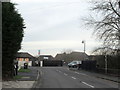
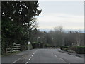
31 photos from this area
Area Information
Key information about the B47 6HE including its size, population, and administrative classification.
- Area Type
- Postcode
- Area Size
- 1.8 hectares
- Population
- 1855
- Population Density
- 922 people/km²
House Prices in B47 6HE
30
Properties
£309,661
Average Sold Price
£37,276
Lowest Price
£625,000
Highest Price
Showing 30 properties
| Address | Type | Beds | Baths | Last Sale Price | Last Sale Date | |
|---|---|---|---|---|---|---|
| 4 Lea Green Lane, Wythall, B47 6HE | Bungalow | 3 | 1 | £395,000 | Dec 2025 | |
| 18 Lea Green Lane, Wythall, B47 6HE | Detached | - | - | £625,000 | Feb 2021 | |
| 36 Lea Green Lane, Wythall, B47 6HE | Detached | 5 | 2 | £592,500 | Apr 2019 | |
| 17 Lea Green Lane, Wythall, B47 6HE | house | - | - | £180,000 | Feb 2015 | |
| 32 Lea Green Lane, Wythall, B47 6HE | Detached | 4 | - | £400,000 | Dec 2014 | |
| 15 Lea Green Lane, Wythall, B47 6HE | Detached | 4 | 2 | £400,000 | Oct 2013 | |
| 21 Lea Green Lane, Wythall, B47 6HE | Detached | - | - | £380,000 | Mar 2010 | |
| 26 Lea Green Lane, Wythall, B47 6HE | Detached | - | - | £324,340 | Oct 2007 | |
| 31 Lea Green Lane, Wythall, B47 6HE | Detached | - | - | £350,000 | Sep 2007 | |
| 9 Lea Green Lane, Wythall, B47 6HE | Detached | - | - | £345,000 | Jun 2007 |
Page 1 of 3
Energy Efficiency in B47 6HE
Amenities
Schools
| Rank | School | Type | Entry gender | Ages |
|---|
Explore more schools in this area
Go to Schools tabDemographics
Household Size
Family (3-5 people)
most common
Accommodation Type
Houses
most common
Tenure
84
majority
Ethnic Group
White
most common
Religion
N/A
most common
Household Composition
N/A
most common
Age
47
median
Adults (30-64 years)
most common
Household Deprivation
N/A
with no deprivation
NS-SEC
47
in Lower managerial occupations
Explore more demographic insights in this area
Go to Demographics tabPlanning
Planning Constraints
- Flood RiskPremium
- Ramsar Wetland SitesPremium
- Area of Outstanding Natural BeautyPremium
- Protected Nature ReservePremium
- Protected WoodlandPremium