Area Overview for B47 6HA
Photos of B47 6HA
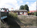
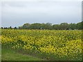
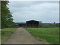
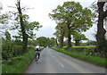
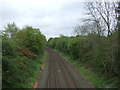
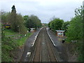
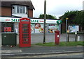
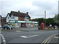
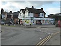
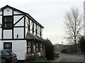
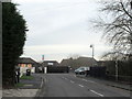
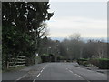
31 photos from this area
Area Information
Key information about the B47 6HA including its size, population, and administrative classification.
- Area Type
- Postcode
- Area Size
- 22.3 hectares
- Population
- 1855
- Population Density
- 922 people/km²
House Prices in B47 6HA
30
Properties
£289,902
Average Sold Price
£84,000
Lowest Price
£520,000
Highest Price
Showing 30 properties
| Address | Type | Beds | Baths | Last Sale Price | Last Sale Date | |
|---|---|---|---|---|---|---|
| 16 Norton Lane, Wythall, B47 6HA | Bungalow | 3 | 3 | £520,000 | Dec 2024 | |
| 21 Norton Lane, Wythall, B47 6HA | Semi-detached | 4 | 2 | £490,000 | Oct 2023 | |
| 17 Norton Lane, Wythall, B47 6HA | house | - | - | £408,000 | Dec 2021 | |
| 15 Norton Lane, Wythall, B47 6HA | Detached | 4 | 2 | £465,000 | Nov 2018 | |
| 19 Norton Lane, Wythall, B47 6HA | Semi-detached | 6 | 2 | £500,000 | Dec 2017 | |
| 18 Norton Lane, Wythall, B47 6HA | house | - | - | £360,000 | Nov 2014 | |
| 20 Norton Lane, Wythall, B47 6HA | house | - | - | £420,000 | Feb 2012 | |
| 29 Norton Lane, Wythall, B47 6HA | house | - | - | £395,000 | Mar 2011 | |
| 11 Norton Lane, Wythall, B47 6HA | house | - | - | £245,000 | Oct 2010 | |
| 3 Norton Lane, Wythall, B47 6HA | Retail | 4 | 2 | £270,000 | May 2007 |
Page 1 of 3
Energy Efficiency in B47 6HA
Amenities
Schools
| Rank | School | Type | Entry gender | Ages |
|---|
Explore more schools in this area
Go to Schools tabDemographics
Household Size
Family (3-5 people)
most common
Accommodation Type
Houses
most common
Tenure
84
majority
Ethnic Group
White
most common
Religion
N/A
most common
Household Composition
N/A
most common
Age
47
median
Adults (30-64 years)
most common
Household Deprivation
N/A
with no deprivation
NS-SEC
47
in Lower managerial occupations
Explore more demographic insights in this area
Go to Demographics tabPlanning
Planning Constraints
- Flood RiskPremium
- Ramsar Wetland SitesPremium
- Area of Outstanding Natural BeautyPremium
- Protected Nature ReservePremium
- Protected WoodlandPremium