Area Overview for B47 6HD
Photos of B47 6HD
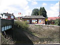
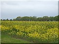
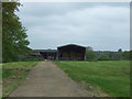
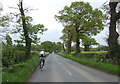
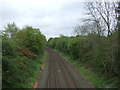
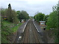
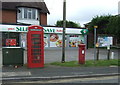
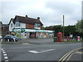
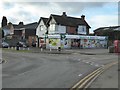
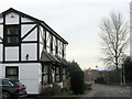
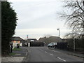
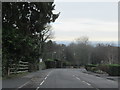
31 photos from this area
Area Information
Key information about the B47 6HD including its size, population, and administrative classification.
- Area Type
- Postcode
- Area Size
- 6231 m²
- Population
- 1855
- Population Density
- 922 people/km²
House Prices in B47 6HD
19
Properties
£213,826
Average Sold Price
£50,200
Lowest Price
£670,000
Highest Price
Showing 19 properties
| Address | Type | Beds | Baths | Last Sale Price | Last Sale Date | |
|---|---|---|---|---|---|---|
| 7 Lea Green Drive, Wythall, B47 6HD | Flat | 2 | 1 | £154,000 | Mar 2025 | |
| 20 Lea Green Drive, Wythall, B47 6HD | Detached | 5 | 3 | £670,000 | Jan 2025 | |
| 17 Lea Green Drive, Wythall, B47 6HD | Flat | 2 | 1 | £185,000 | Jun 2024 | |
| 6 Lea Green Drive, Wythall, B47 6HD | Flat | 2 | 1 | £180,000 | Mar 2022 | |
| 8 Lea Green Drive, Wythall, B47 6HD | Flat | - | - | £175,000 | Nov 2021 | |
| 3 Lea Green Drive, Wythall, B47 6HD | Flat | - | - | £166,000 | Sep 2021 | |
| 10 Lea Green Drive, Wythall, B47 6HD | Flat | - | - | £167,500 | Jan 2020 | |
| 12 Lea Green Drive, Wythall, B47 6HD | Flat | 2 | 1 | £168,500 | Dec 2018 | |
| 11 Lea Green Drive, Wythall, B47 6HD | Flat | - | - | £155,000 | Feb 2016 | |
| 16 Lea Green Drive, Wythall, B47 6HD | Flat | - | - | £142,500 | Nov 2014 |
Page 1 of 2
Energy Efficiency in B47 6HD
Amenities
Schools
| Rank | School | Type | Entry gender | Ages |
|---|
Explore more schools in this area
Go to Schools tabDemographics
Household Size
Family (3-5 people)
most common
Accommodation Type
Houses
most common
Tenure
84
majority
Ethnic Group
White
most common
Religion
N/A
most common
Household Composition
N/A
most common
Age
47
median
Adults (30-64 years)
most common
Household Deprivation
N/A
with no deprivation
NS-SEC
47
in Lower managerial occupations
Explore more demographic insights in this area
Go to Demographics tabPlanning
Planning Constraints
- Flood RiskPremium
- Ramsar Wetland SitesPremium
- Area of Outstanding Natural BeautyPremium
- Protected Nature ReservePremium
- Protected WoodlandPremium