Area Overview for B47 6ES
Photos of B47 6ES
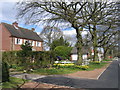
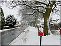
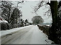
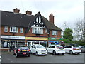
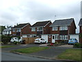
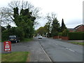
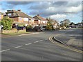
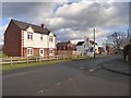
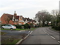
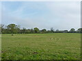
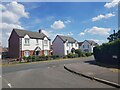
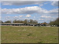
22 photos from this area
Area Information
Key information about the B47 6ES including its size, population, and administrative classification.
- Area Type
- Postcode
- Area Size
- 1.2 hectares
- Population
- 1855
- Population Density
- 922 people/km²
House Prices in B47 6ES
26
Properties
£235,097
Average Sold Price
£74,000
Lowest Price
£490,000
Highest Price
Showing 26 properties
| Address | Type | Beds | Baths | Last Sale Price | Last Sale Date | |
|---|---|---|---|---|---|---|
| 208 Station Road, Wythall, B47 6ES | house | 3 | 4 | £296,500 | Nov 2023 | |
| 214 Station Road, Wythall, B47 6ES | Semi-detached | 3 | 1 | £380,000 | Oct 2018 | |
| 244 Station Road, Wythall, B47 6ES | Detached | 5 | 2 | £490,000 | Jul 2017 | |
| 206 Station Road, Wythall, B47 6ES | Terraced | 3 | - | £217,000 | Jul 2015 | |
| 198 Station Road, Wythall, B47 6ES | house | - | - | £200,000 | Dec 2013 | |
| 240 Station Road, Wythall, B47 6ES | house | - | - | £325,000 | Oct 2012 | |
| 234 Station Road, Wythall, B47 6ES | house | - | - | £199,950 | Mar 2010 | |
| 220 Station Road, Wythall, B47 6ES | Terraced | - | - | £250,000 | Dec 2006 | |
| 196 Station Road, Wythall, B47 6ES | Terraced | - | - | £193,500 | Oct 2006 | |
| 202 Station Road, Wythall, B47 6ES | Terraced | - | - | £250,000 | Mar 2005 |
Page 1 of 3
Energy Efficiency in B47 6ES
Amenities
Schools
| Rank | School | Type | Entry gender | Ages |
|---|
Explore more schools in this area
Go to Schools tabDemographics
Household Size
Family (3-5 people)
most common
Accommodation Type
Houses
most common
Tenure
84
majority
Ethnic Group
White
most common
Religion
N/A
most common
Household Composition
N/A
most common
Age
47
median
Adults (30-64 years)
most common
Household Deprivation
N/A
with no deprivation
NS-SEC
47
in Lower managerial occupations
Explore more demographic insights in this area
Go to Demographics tabPlanning
Planning Constraints
- Flood RiskPremium
- Ramsar Wetland SitesPremium
- Area of Outstanding Natural BeautyPremium
- Protected Nature ReservePremium
- Protected WoodlandPremium