Area Overview for B47 6AS
Photos of B47 6AS
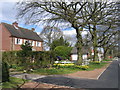
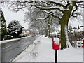
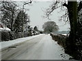
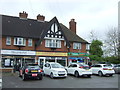
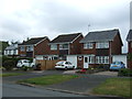
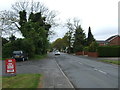
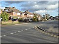
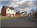
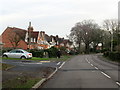
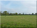
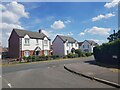
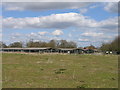
22 photos from this area
Area Information
Key information about the B47 6AS including its size, population, and administrative classification.
- Area Type
- Postcode
- Area Size
- 13.1 hectares
- Population
- 1855
- Population Density
- 922 people/km²
House Prices in B47 6AS
75
Properties
£345,940
Average Sold Price
£134,000
Lowest Price
£605,000
Highest Price
Showing 75 properties
| Address | Type | Beds | Baths | Last Sale Price | Last Sale Date | |
|---|---|---|---|---|---|---|
| 95 Burnham Road, Wythall, B47 6AS | Detached | 3 | 2 | £390,000 | Aug 2025 | |
| 141 Burnham Road, Wythall, B47 6AS | Detached | 3 | 2 | £430,000 | Mar 2025 | |
| 49 Burnham Road, Wythall, B47 6AS | Detached | 4 | 2 | £535,000 | Oct 2024 | |
| 23 Burnham Road, Wythall, B47 6AS | Terraced | 3 | 1 | £134,000 | Mar 2024 | |
| 51 Burnham Road, Wythall, B47 6AS | house | - | - | £505,000 | Jul 2023 | |
| 119 Burnham Road, Wythall, B47 6AS | Semi-detached | 3 | 1 | £330,000 | Jun 2023 | |
| 139 Burnham Road, Wythall, B47 6AS | house | - | - | £475,000 | Jul 2022 | |
| 145 Burnham Road, Wythall, B47 6AS | Semi-detached | 3 | 2 | £325,000 | Jun 2022 | |
| 85 Burnham Road, Wythall, B47 6AS | house | - | - | £390,000 | Feb 2022 | |
| 133 Burnham Road, Wythall, B47 6AS | Detached | 4 | 2 | £465,000 | Nov 2021 |
Page 1 of 8
Energy Efficiency in B47 6AS
Amenities
Schools
| Rank | School | Type | Entry gender | Ages |
|---|
Explore more schools in this area
Go to Schools tabDemographics
Household Size
Family (3-5 people)
most common
Accommodation Type
Houses
most common
Tenure
84
majority
Ethnic Group
White
most common
Religion
N/A
most common
Household Composition
N/A
most common
Age
47
median
Adults (30-64 years)
most common
Household Deprivation
N/A
with no deprivation
NS-SEC
47
in Lower managerial occupations
Explore more demographic insights in this area
Go to Demographics tabPlanning
Planning Constraints
- Flood RiskPremium
- Ramsar Wetland SitesPremium
- Area of Outstanding Natural BeautyPremium
- Protected Nature ReservePremium
- Protected WoodlandPremium