Area Overview for B45 9LA
Photos of B45 9LA
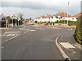
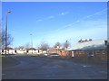
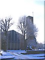
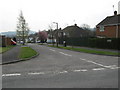
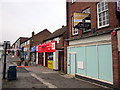
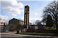
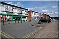
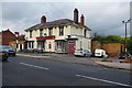
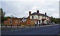
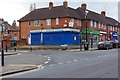
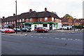
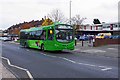
85 photos from this area
Area Information
Key information about the B45 9LA including its size, population, and administrative classification.
- Area Type
- Postcode
- Area Size
- 1.8 hectares
- Population
- 1532
- Population Density
- 3745 people/km²
House Prices in B45 9LA
48
Properties
£122,255
Average Sold Price
£16,340
Lowest Price
£220,000
Highest Price
Showing 48 properties
| Address | Type | Beds | Baths | Last Sale Price | Last Sale Date | |
|---|---|---|---|---|---|---|
| 20 Brookend Drive, Rubery, B45 9LA | Semi-detached | 2 | 1 | £173,000 | Jun 2025 | |
| 63 Brookend Drive, Rubery, B45 9LA | Terraced | 3 | 1 | £179,250 | Dec 2024 | |
| 3 Brookend Drive, Rubery, B45 9LA | Terraced | 3 | 1 | £175,000 | Jun 2024 | |
| 31 Brookend Drive, Rubery, B45 9LA | Terraced | 3 | 1 | £220,000 | Feb 2024 | |
| 29 Brookend Drive, Rubery, B45 9LA | Terraced | 3 | 1 | £177,000 | Jun 2023 | |
| 15 Brookend Drive, Rubery, B45 9LA | Retail | 3 | 1 | £220,000 | Mar 2022 | |
| 59 Brookend Drive, Rubery, B45 9LA | house | - | - | £200,000 | Sep 2021 | |
| 65 Brookend Drive, Rubery, B45 9LA | Terraced | 3 | 1 | £190,000 | May 2021 | |
| 16 Brookend Drive, Rubery, B45 9LA | Terraced | 2 | 1 | £157,500 | Nov 2020 | |
| 7 Brookend Drive, Rubery, B45 9LA | Terraced | - | - | £16,340 | Mar 2020 |
Page 1 of 5
Energy Efficiency in B45 9LA
Amenities
Schools
| Rank | School | Type | Entry gender | Ages |
|---|
Explore more schools in this area
Go to Schools tabDemographics
Household Size
Two person
most common
Accommodation Type
Houses
most common
Tenure
73
majority
Ethnic Group
White
most common
Religion
N/A
most common
Household Composition
N/A
most common
Age
47
median
Adults (30-64 years)
most common
Household Deprivation
N/A
with no deprivation
NS-SEC
30
in Lower managerial occupations
Explore more demographic insights in this area
Go to Demographics tabPlanning
Planning Constraints
- Flood RiskPremium
- Ramsar Wetland SitesPremium
- Area of Outstanding Natural BeautyPremium
- Protected Nature ReservePremium
- Protected WoodlandPremium