Area Overview for B45 9JN
Photos of B45 9JN
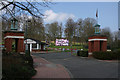
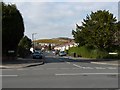
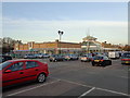
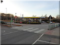
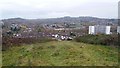
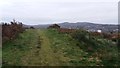
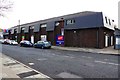
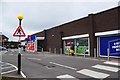
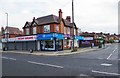
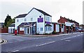
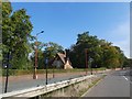

75 photos from this area
Area Information
Key information about the B45 9JN including its size, population, and administrative classification.
- Area Type
- Postcode
- Area Size
- 2.0 hectares
- Population
- 1635
- Population Density
- 7152 people/km²
House Prices in B45 9JN
10
Properties
£260,700
Average Sold Price
£215,000
Lowest Price
£432,000
Highest Price
Showing 10 properties
| Address | Type | Beds | Baths | Last Sale Price | Last Sale Date | |
|---|---|---|---|---|---|---|
| 229 New Road, Rubery, B45 9JN | house | - | - | £217,500 | Jan 2022 | |
| 223 New Road, Rubery, B45 9JN | house | - | - | £222,000 | Dec 2021 | |
| 227 New Road, Rubery, B45 9JN | house | - | - | £215,000 | Nov 2021 | |
| 225 New Road, Rubery, B45 9JN | house | - | - | £217,000 | Oct 2021 | |
| 231 New Road, Rubery, B45 9JN | house | - | - | £432,000 | Dec 2020 | |
| 233 New Road, Rubery, B45 9JN | Flat | 2 | 1 | - | - | |
| 219 New Road, Rubery, B45 9JN | Semi-detached | 2 | 1 | - | - | |
| Severn Trent Control Kiosk, New Road, Rubery, B45 9JN | Industrial | - | - | - | - | |
| 221 New Road, Rubery, B45 9JN | house | - | - | - | - | |
| 235 New Road, Rubery, B45 9JN | Flat | - | - | - | - |
Energy Efficiency in B45 9JN
Amenities
Schools
| Rank | School | Type | Entry gender | Ages |
|---|
Explore more schools in this area
Go to Schools tabDemographics
Household Size
One person
most common
Accommodation Type
Flats
most common
Tenure
24
majority
Ethnic Group
White
most common
Religion
N/A
most common
Household Composition
N/A
most common
Age
47
median
Adults (30-64 years)
most common
Household Deprivation
N/A
with no deprivation
NS-SEC
13
in Lower managerial occupations
Explore more demographic insights in this area
Go to Demographics tabPlanning
Planning Constraints
- Flood RiskPremium
- Ramsar Wetland SitesPremium
- Area of Outstanding Natural BeautyPremium
- Protected Nature ReservePremium
- Protected WoodlandPremium