Area Overview for B45 9JW
Photos of B45 9JW
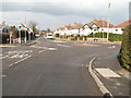
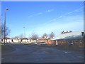
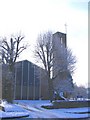
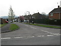
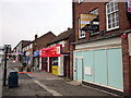
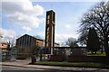
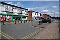
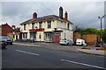
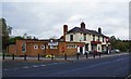
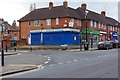
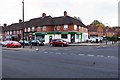
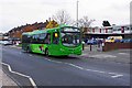
85 photos from this area
Area Information
Key information about the B45 9JW including its size, population, and administrative classification.
- Area Type
- Postcode
- Area Size
- 1.4 hectares
- Population
- 1532
- Population Density
- 3745 people/km²
House Prices in B45 9JW
13
Properties
£315,700
Average Sold Price
£117,800
Lowest Price
£600,000
Highest Price
Showing 13 properties
| Address | Type | Beds | Baths | Last Sale Price | Last Sale Date | |
|---|---|---|---|---|---|---|
| 143A New Road, Rubery, B45 9JW | Flat | 3 | 1 | £117,800 | Mar 2021 | |
| 147A New Road, Rubery, B45 9JW | Flat | - | - | £600,000 | Nov 2018 | |
| 145A New Road, Rubery, B45 9JW | Maisonette | 3 | - | £165,000 | Oct 2018 | |
| 151A New Road, Rubery, B45 9JW | Flat | - | - | £380,000 | Dec 2016 | |
| Clent Hills, 165 New Road, Rubery, B45 9JW | Retail | - | - | - | - | |
| Flat Over, Rubery Social Club, 141 New Road, Rubery, B45 9JW | Land | - | - | - | - | |
| 141B New Road, Rubery, B45 9JW | Maisonette | 3 | 1 | - | - | |
| Flat, 2A New Road, Rubery, B45 9JW | Flat | - | - | - | - | |
| 157A NEW ROAD, Rubery, B45 9JW | Flat | - | - | - | - | |
| First Floor Suite 2, 157A New Road, Rubery, B45 9JW | Office | - | - | - | - |
Page 1 of 2
Energy Efficiency in B45 9JW
Amenities
Schools
| Rank | School | Type | Entry gender | Ages |
|---|
Explore more schools in this area
Go to Schools tabDemographics
Household Size
Two person
most common
Accommodation Type
Houses
most common
Tenure
73
majority
Ethnic Group
White
most common
Religion
N/A
most common
Household Composition
N/A
most common
Age
47
median
Adults (30-64 years)
most common
Household Deprivation
N/A
with no deprivation
NS-SEC
30
in Lower managerial occupations
Explore more demographic insights in this area
Go to Demographics tabPlanning
Planning Constraints
- Flood RiskPremium
- Ramsar Wetland SitesPremium
- Area of Outstanding Natural BeautyPremium
- Protected Nature ReservePremium
- Protected WoodlandPremium