Area Overview for B45 8UD
Photos of B45 8UD
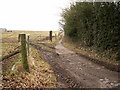
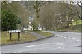
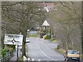
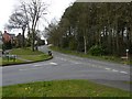
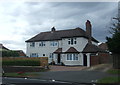
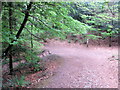
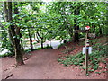
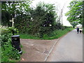
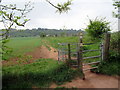
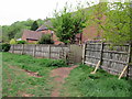
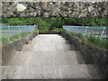
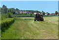
43 photos from this area
Area Information
Key information about the B45 8UD including its size, population, and administrative classification.
- Area Type
- Postcode
- Area Size
- 5640 m²
- Population
- 2435
- Population Density
- 1949 people/km²
House Prices in B45 8UD
10
Properties
£296,706
Average Sold Price
£113,500
Lowest Price
£500,000
Highest Price
Showing 10 properties
| Address | Type | Beds | Baths | Last Sale Price | Last Sale Date | |
|---|---|---|---|---|---|---|
| 482 Groveley Lane, Cofton Hackett, B45 8UD | Semi-detached | 3 | 1 | £365,000 | Dec 2024 | |
| 496 Groveley Lane, Cofton Hackett, B45 8UD | Semi-detached | 2 | - | £267,350 | Jul 2019 | |
| 492 Groveley Lane, Cofton Hackett, B45 8UD | Detached | 5 | 3 | £500,000 | Sep 2016 | |
| 498 Groveley Lane, Cofton Hackett, B45 8UD | Semi-detached | 4 | 1 | £387,500 | Feb 2016 | |
| 484 Groveley Lane, Cofton Hackett, B45 8UD | Semi-detached | 3 | 1 | £250,000 | Dec 2015 | |
| 494 Groveley Lane, Cofton Hackett, B45 8UD | Semi-detached | 5 | 2 | £400,000 | Jul 2014 | |
| 480 Groveley Lane, Cofton Hackett, B45 8UD | Terraced | - | - | £204,000 | Aug 2004 | |
| 486 Groveley Lane, Cofton Hackett, B45 8UD | Terraced | - | - | £183,000 | Nov 2003 | |
| 488 Groveley Lane, Cofton Hackett, B45 8UD | Terraced | - | - | £113,500 | Aug 1999 | |
| 490 Groveley Lane, Cofton Hackett, B45 8UD | Terraced | - | - | - | - |
Energy Efficiency in B45 8UD
Amenities
Schools
| Rank | School | Type | Entry gender | Ages |
|---|
Explore more schools in this area
Go to Schools tabDemographics
Household Size
Family (3-5 people)
most common
Accommodation Type
Houses
most common
Tenure
90
majority
Ethnic Group
White
most common
Religion
N/A
most common
Household Composition
N/A
most common
Age
47
median
Adults (30-64 years)
most common
Household Deprivation
N/A
with no deprivation
NS-SEC
53
in Lower managerial occupations
Explore more demographic insights in this area
Go to Demographics tabPlanning
Planning Constraints
- Flood RiskPremium
- Ramsar Wetland SitesPremium
- Area of Outstanding Natural BeautyPremium
- Protected Nature ReservePremium
- Protected WoodlandPremium