Area Overview for B38 8XZ
Photos of B38 8XZ
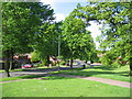
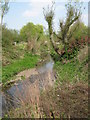
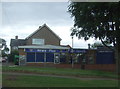
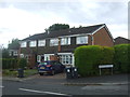
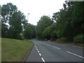
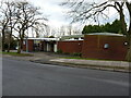
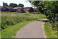
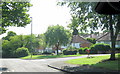
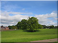
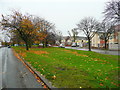
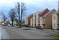
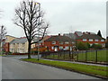
14 photos from this area
Area Information
Key information about the B38 8XZ including its size, population, and administrative classification.
- Area Type
- Postcode
- Area Size
- 1.2 hectares
- Population
- 1558
- Population Density
- 6036 people/km²
House Prices in B38 8XZ
34
Properties
£117,604
Average Sold Price
£36,000
Lowest Price
£204,000
Highest Price
Showing 34 properties
| Address | Type | Beds | Baths | Last Sale Price | Last Sale Date | |
|---|---|---|---|---|---|---|
| 23 Portrush Avenue, Birmingham, B38 8XZ | Terraced | 3 | 1 | £200,000 | Dec 2024 | |
| 25 Portrush Avenue, Birmingham, B38 8XZ | Terraced | 3 | 1 | £195,000 | Oct 2024 | |
| 15 Portrush Avenue, Birmingham, B38 8XZ | house | 3 | 1 | £204,000 | Sep 2022 | |
| 7 Portrush Avenue, Birmingham, B38 8XZ | Terraced | 3 | 1 | £165,000 | Dec 2021 | |
| 19 Portrush Avenue, Birmingham, B38 8XZ | Terraced | 3 | - | £166,000 | Aug 2021 | |
| 26 Portrush Avenue, Birmingham, B38 8XZ | Terraced | 3 | 1 | £130,000 | Sep 2018 | |
| 39 Portrush Avenue, Birmingham, B38 8XZ | Flat | - | - | £100,000 | May 2018 | |
| 5 Portrush Avenue, Birmingham, B38 8XZ | Terraced | 3 | - | £102,000 | Sep 2013 | |
| 28 Portrush Avenue, Birmingham, B38 8XZ | Terraced | 3 | 1 | £95,000 | Jul 2013 | |
| 21 Portrush Avenue, Birmingham, B38 8XZ | house | - | - | £100,000 | Feb 2006 |
Page 1 of 4
Energy Efficiency in B38 8XZ
Amenities
Schools
| Rank | School | Type | Entry gender | Ages |
|---|
Explore more schools in this area
Go to Schools tabDemographics
Household Size
One person
most common
Accommodation Type
Houses
most common
Tenure
59
majority
Ethnic Group
White
most common
Religion
N/A
most common
Household Composition
N/A
most common
Age
47
median
Adults (30-64 years)
most common
Household Deprivation
N/A
with no deprivation
NS-SEC
26
in Lower managerial occupations
Explore more demographic insights in this area
Go to Demographics tabPlanning
Planning Constraints
- Flood RiskPremium
- Ramsar Wetland SitesPremium
- Area of Outstanding Natural BeautyPremium
- Protected Nature ReservePremium
- Protected WoodlandPremium