Area Overview for B38 8XY
Photos of B38 8XY
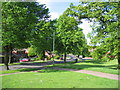
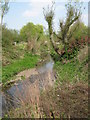
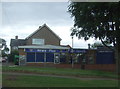
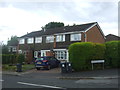
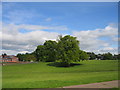
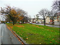
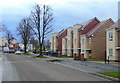
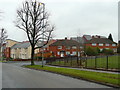
14 photos from this area
Area Information
Key information about the B38 8XY including its size, population, and administrative classification.
- Area Type
- Postcode
- Area Size
- 6016 m²
- Population
- 1558
- Population Density
- 6036 people/km²
House Prices in B38 8XY
22
Properties
£114,727
Average Sold Price
£21,000
Lowest Price
£190,000
Highest Price
Showing 22 properties
| Address | Type | Beds | Baths | Last Sale Price | Last Sale Date | |
|---|---|---|---|---|---|---|
| 76 Vardon Way, Birmingham, B38 8XY | house | 3 | 1 | £190,000 | Dec 2024 | |
| 78 Vardon Way, Birmingham, B38 8XY | Terraced | 3 | 1 | £190,000 | Jan 2023 | |
| 42 Vardon Way, Birmingham, B38 8XY | Terraced | 2 | 1 | £145,000 | Jun 2021 | |
| 92 Vardon Way, Birmingham, B38 8XY | Flat | 1 | - | £75,000 | Sep 2018 | |
| 88 Vardon Way, Birmingham, B38 8XY | Maisonette | 1 | 1 | £87,500 | Mar 2018 | |
| 72 Vardon Way, Birmingham, B38 8XY | Terraced | 3 | 1 | £126,500 | Feb 2017 | |
| 58 Vardon Way, Birmingham, B38 8XY | Terraced | 3 | 1 | £130,000 | Jan 2017 | |
| 86 Vardon Way, Birmingham, B38 8XY | Flat | - | - | £73,000 | Jan 2017 | |
| 60 Vardon Way, Birmingham, B38 8XY | Terraced | - | - | £110,000 | May 2009 | |
| 74 Vardon Way, Birmingham, B38 8XY | Terraced | - | - | £114,000 | Apr 2006 |
Page 1 of 3
Energy Efficiency in B38 8XY
Amenities
Schools
| Rank | School | Type | Entry gender | Ages |
|---|
Explore more schools in this area
Go to Schools tabDemographics
Household Size
One person
most common
Accommodation Type
Houses
most common
Tenure
59
majority
Ethnic Group
White
most common
Religion
N/A
most common
Household Composition
N/A
most common
Age
47
median
Adults (30-64 years)
most common
Household Deprivation
N/A
with no deprivation
NS-SEC
26
in Lower managerial occupations
Explore more demographic insights in this area
Go to Demographics tabPlanning
Planning Constraints
- Flood RiskPremium
- Ramsar Wetland SitesPremium
- Area of Outstanding Natural BeautyPremium
- Protected Nature ReservePremium
- Protected WoodlandPremium