Area Overview for B38 8EA
Photos of B38 8EA
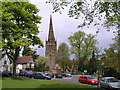
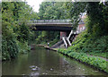
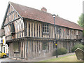
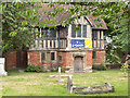
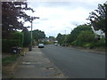
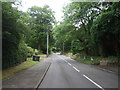
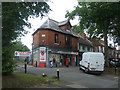
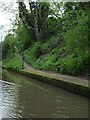
49 photos from this area
Area Information
Key information about the B38 8EA including its size, population, and administrative classification.
- Area Type
- Postcode
- Area Size
- 1.7 hectares
- Population
- 1023
- Population Density
- 3330 people/km²
House Prices in B38 8EA
25
Properties
£263,652
Average Sold Price
£117,000
Lowest Price
£445,000
Highest Price
Showing 25 properties
| Address | Type | Beds | Baths | Last Sale Price | Last Sale Date | |
|---|---|---|---|---|---|---|
| 205 Rednal Road, Birmingham, B38 8EA | house | - | - | £369,500 | Jun 2025 | |
| 227 Rednal Road, Birmingham, B38 8EA | Semi-detached | 3 | 1 | £347,500 | Mar 2025 | |
| 211 Rednal Road, Birmingham, B38 8EA | Semi-detached | 3 | 2 | £367,500 | Dec 2024 | |
| 229 Rednal Road, Birmingham, B38 8EA | Semi-detached | 4 | 2 | £398,000 | Oct 2024 | |
| 223 Rednal Road, Birmingham, B38 8EA | Semi-detached | 3 | 1 | £180,000 | Apr 2024 | |
| 213 Rednal Road, Birmingham, B38 8EA | house | - | - | £310,000 | Jan 2024 | |
| 207 Rednal Road, Birmingham, B38 8EA | Detached | 4 | 2 | £445,000 | Jun 2023 | |
| 217 Rednal Road, Birmingham, B38 8EA | Semi-detached | 4 | 2 | £415,000 | May 2023 | |
| 201 Rednal Road, Birmingham, B38 8EA | Detached | 4 | - | £387,500 | Jun 2021 | |
| 183 Rednal Road, Birmingham, B38 8EA | Detached | 3 | 1 | £375,000 | Oct 2019 |
Page 1 of 3
Energy Efficiency in B38 8EA
Amenities
Schools
| Rank | School | Type | Entry gender | Ages |
|---|
Explore more schools in this area
Go to Schools tabDemographics
Household Size
Two person
most common
Accommodation Type
Houses
most common
Tenure
87
majority
Ethnic Group
White
most common
Religion
N/A
most common
Household Composition
N/A
most common
Age
47
median
Adults (30-64 years)
most common
Household Deprivation
N/A
with no deprivation
NS-SEC
38
in Lower managerial occupations
Explore more demographic insights in this area
Go to Demographics tabPlanning
Planning Constraints
- Flood RiskPremium
- Ramsar Wetland SitesPremium
- Area of Outstanding Natural BeautyPremium
- Protected Nature ReservePremium
- Protected WoodlandPremium