Area Overview for B38 8BN
Photos of B38 8BN
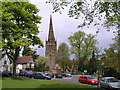
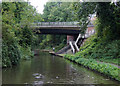
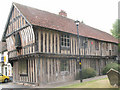
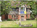
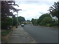
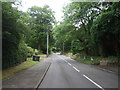
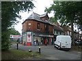
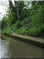
49 photos from this area
Area Information
Key information about the B38 8BN including its size, population, and administrative classification.
- Area Type
- Postcode
- Area Size
- 6673 m²
- Population
- 1369
- Population Density
- 1317 people/km²
House Prices in B38 8BN
6
Properties
£387,310
Average Sold Price
£341,650
Lowest Price
£440,000
Highest Price
Showing 6 properties
| Address | Type | Beds | Baths | Last Sale Price | Last Sale Date | |
|---|---|---|---|---|---|---|
| 78 Beaks Hill Road, Birmingham, B38 8BN | Detached | 6 | 2 | £341,650 | Mar 2021 | |
| 82 Beaks Hill Road, Birmingham, B38 8BN | house | 4 | - | £380,000 | Jun 2011 | |
| 76 Beaks Hill Road, Birmingham, B38 8BN | Detached | 4 | 2 | £424,950 | Jul 2010 | |
| 74 Beaks Hill Road, Birmingham, B38 8BN | house | 4 | - | £349,950 | Apr 2010 | |
| 80 Beaks Hill Road, Birmingham, B38 8BN | Detached | - | - | £440,000 | Apr 2006 | |
| 84 Beaks Hill Road, Birmingham, B38 8BN | house | - | - | - | - |
Energy Efficiency in B38 8BN
Amenities
Schools
| Rank | School | Type | Entry gender | Ages |
|---|
Explore more schools in this area
Go to Schools tabDemographics
Household Size
Two person
most common
Accommodation Type
Houses
most common
Tenure
90
majority
Ethnic Group
White
most common
Religion
N/A
most common
Household Composition
N/A
most common
Age
47
median
Adults (30-64 years)
most common
Household Deprivation
N/A
with no deprivation
NS-SEC
49
in Lower managerial occupations
Explore more demographic insights in this area
Go to Demographics tabPlanning
Planning Constraints
- Flood RiskPremium
- Ramsar Wetland SitesPremium
- Area of Outstanding Natural BeautyPremium
- Protected Nature ReservePremium
- Protected WoodlandPremium