Area Overview for B38 8DY
Photos of B38 8DY
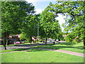
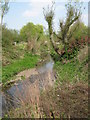
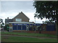
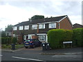
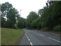
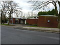
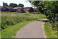
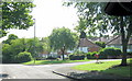
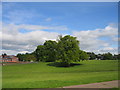
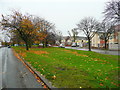
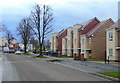
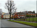
14 photos from this area
Area Information
Key information about the B38 8DY including its size, population, and administrative classification.
- Area Type
- Postcode
- Area Size
- 1.2 hectares
- Population
- 1023
- Population Density
- 3330 people/km²
House Prices in B38 8DY
23
Properties
£188,069
Average Sold Price
£65,995
Lowest Price
£345,000
Highest Price
Showing 23 properties
| Address | Type | Beds | Baths | Last Sale Price | Last Sale Date | |
|---|---|---|---|---|---|---|
| 44 Fairlie Crescent, Birmingham, B38 8DY | Semi-detached | 3 | 1 | £290,000 | Apr 2025 | |
| 36 Fairlie Crescent, Birmingham, B38 8DY | Semi-detached | 3 | 1 | £345,000 | Feb 2024 | |
| 34 Fairlie Crescent, Birmingham, B38 8DY | Detached | 3 | 1 | £295,000 | Dec 2022 | |
| 16 Fairlie Crescent, Birmingham, B38 8DY | Semi-detached | 3 | 1 | £195,000 | Feb 2020 | |
| 32 Fairlie Crescent, Birmingham, B38 8DY | Semi-detached | 3 | 1 | £256,000 | Dec 2019 | |
| 10 Fairlie Crescent, Birmingham, B38 8DY | house | 3 | - | £195,000 | Aug 2018 | |
| 42 Fairlie Crescent, Birmingham, B38 8DY | house | - | - | £165,000 | Apr 2011 | |
| 38 Fairlie Crescent, Birmingham, B38 8DY | Detached | 3 | 1 | £140,000 | Dec 2008 | |
| 6 Fairlie Crescent, Birmingham, B38 8DY | house | - | - | £174,950 | Nov 2008 | |
| 48 Fairlie Crescent, Birmingham, B38 8DY | Semi-detached | - | - | £137,000 | Apr 2003 |
Page 1 of 3
Energy Efficiency in B38 8DY
Amenities
Schools
| Rank | School | Type | Entry gender | Ages |
|---|
Explore more schools in this area
Go to Schools tabDemographics
Household Size
Two person
most common
Accommodation Type
Houses
most common
Tenure
87
majority
Ethnic Group
White
most common
Religion
N/A
most common
Household Composition
N/A
most common
Age
47
median
Adults (30-64 years)
most common
Household Deprivation
N/A
with no deprivation
NS-SEC
38
in Lower managerial occupations
Explore more demographic insights in this area
Go to Demographics tabPlanning
Planning Constraints
- Flood RiskPremium
- Ramsar Wetland SitesPremium
- Area of Outstanding Natural BeautyPremium
- Protected Nature ReservePremium
- Protected WoodlandPremium