Area Overview for B38 8EE
Photos of B38 8EE
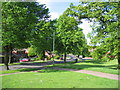
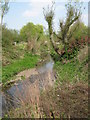
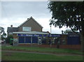
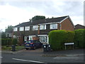
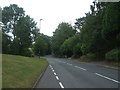
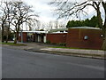
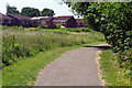
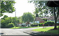
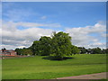
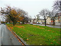
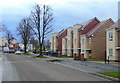
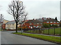
14 photos from this area
Area Information
Key information about the B38 8EE including its size, population, and administrative classification.
- Area Type
- Postcode
- Area Size
- 1.0 hectares
- Population
- 1545
- Population Density
- 5936 people/km²
House Prices in B38 8EE
20
Properties
£243,204
Average Sold Price
£71,000
Lowest Price
£395,000
Highest Price
Showing 20 properties
| Address | Type | Beds | Baths | Last Sale Price | Last Sale Date | |
|---|---|---|---|---|---|---|
| 335 Rednal Road, Birmingham, B38 8EE | Semi-detached | 4 | 2 | £307,500 | May 2024 | |
| 343 Rednal Road, Birmingham, B38 8EE | Semi-detached | - | - | £230,000 | Mar 2023 | |
| 321 Rednal Road, Birmingham, B38 8EE | Bungalow | 4 | 2 | £395,000 | Feb 2022 | |
| 339 Rednal Road, Birmingham, B38 8EE | house | - | - | £280,000 | Feb 2022 | |
| 345 Rednal Road, Birmingham, B38 8EE | Semi-detached | 4 | 1 | £250,000 | Mar 2020 | |
| 353 Rednal Road, Birmingham, B38 8EE | Semi-detached | 5 | 1 | £278,000 | May 2017 | |
| 351 Rednal Road, Birmingham, B38 8EE | house | 4 | 1 | £230,000 | Feb 2016 | |
| 323 Rednal Road, Birmingham, B38 8EE | Semi-detached | 4 | 1 | £340,000 | Oct 2014 | |
| 329 Rednal Road, Birmingham, B38 8EE | Detached | - | - | £295,000 | Apr 2004 | |
| 355 Rednal Road, Birmingham, B38 8EE | Semi-detached | - | - | £146,950 | Dec 2002 |
Page 1 of 2
Energy Efficiency in B38 8EE
Amenities
Schools
| Rank | School | Type | Entry gender | Ages |
|---|
Explore more schools in this area
Go to Schools tabDemographics
Household Size
Family (3-5 people)
most common
Accommodation Type
Houses
most common
Tenure
73
majority
Ethnic Group
White
most common
Religion
N/A
most common
Household Composition
N/A
most common
Age
47
median
Adults (30-64 years)
most common
Household Deprivation
N/A
with no deprivation
NS-SEC
30
in Lower managerial occupations
Explore more demographic insights in this area
Go to Demographics tabPlanning
Planning Constraints
- Flood RiskPremium
- Ramsar Wetland SitesPremium
- Area of Outstanding Natural BeautyPremium
- Protected Nature ReservePremium
- Protected WoodlandPremium