Area Overview for B36 8HE
Photos of B36 8HE
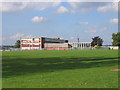

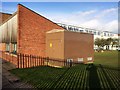
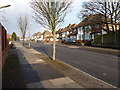
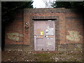
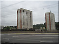
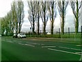
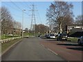
26 photos from this area
Area Information
Key information about the B36 8HE including its size, population, and administrative classification.
- Area Type
- Postcode
- Area Size
- 1.7 hectares
- Population
- 2211
- Population Density
- 6424 people/km²
House Prices in B36 8HE
33
Properties
£185,609
Average Sold Price
£77,250
Lowest Price
£300,000
Highest Price
Showing 33 properties
| Address | Type | Beds | Baths | Last Sale Price | Last Sale Date | |
|---|---|---|---|---|---|---|
| 19 Radstock Avenue, Birmingham, B36 8HE | house | - | - | £300,000 | May 2022 | |
| 17 Radstock Avenue, Birmingham, B36 8HE | Semi-detached | 3 | - | £160,000 | Mar 2020 | |
| 12 Radstock Avenue, Birmingham, B36 8HE | Semi-detached | 3 | 1 | £276,500 | Jul 2019 | |
| 18 Radstock Avenue, Birmingham, B36 8HE | Semi-detached | 3 | 1 | £285,000 | Oct 2018 | |
| 2 Radstock Avenue, Birmingham, B36 8HE | Semi-detached | 3 | 1 | £275,000 | Oct 2018 | |
| 23 Radstock Avenue, Birmingham, B36 8HE | house | 3 | 1 | £265,000 | Jun 2018 | |
| 35 Radstock Avenue, Birmingham, B36 8HE | Semi-detached | 3 | 1 | £225,000 | Jan 2017 | |
| 32 Radstock Avenue, Birmingham, B36 8HE | Semi-detached | 5 | 1 | £294,000 | Nov 2016 | |
| 25 Radstock Avenue, Birmingham, B36 8HE | house | - | - | £210,000 | May 2015 | |
| 27 Radstock Avenue, Birmingham, B36 8HE | Semi-detached | - | - | £190,000 | Apr 2014 |
Page 1 of 4
Energy Efficiency in B36 8HE
Amenities
Schools
| Rank | School | Type | Entry gender | Ages |
|---|
Explore more schools in this area
Go to Schools tabDemographics
Household Size
Family (3-5 people)
most common
Accommodation Type
Houses
most common
Tenure
68
majority
Ethnic Group
asian_total
most common
Religion
N/A
most common
Household Composition
N/A
most common
Age
47
median
Adults (30-64 years)
most common
Household Deprivation
N/A
with no deprivation
NS-SEC
19
in Lower managerial occupations
Explore more demographic insights in this area
Go to Demographics tabPlanning
Planning Constraints
- Flood RiskPremium
- Ramsar Wetland SitesPremium
- Area of Outstanding Natural BeautyPremium
- Protected Nature ReservePremium
- Protected WoodlandPremium