Area Overview for B36 8HA
Photos of B36 8HA
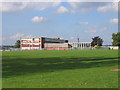

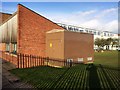
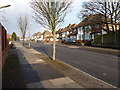
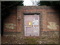
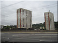
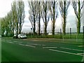
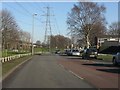
26 photos from this area
Area Information
Key information about the B36 8HA including its size, population, and administrative classification.
- Area Type
- Postcode
- Area Size
- 1.5 hectares
- Population
- 2098
- Population Density
- 6823 people/km²
House Prices in B36 8HA
25
Properties
£201,313
Average Sold Price
£72,950
Lowest Price
£404,000
Highest Price
Showing 25 properties
| Address | Type | Beds | Baths | Last Sale Price | Last Sale Date | |
|---|---|---|---|---|---|---|
| 221 Bromford Road, Birmingham, B36 8HA | house | 5 | 3 | £404,000 | Aug 2025 | |
| 207 Bromford Road, Birmingham, B36 8HA | Semi-detached | 4 | 1 | £365,000 | Oct 2024 | |
| 187 Bromford Road, Birmingham, B36 8HA | house | - | - | £260,000 | Sep 2022 | |
| 219 Bromford Road, Birmingham, B36 8HA | Retail | 3 | 1 | £310,000 | Jul 2022 | |
| 225 Bromford Road, Birmingham, B36 8HA | house | - | - | £205,000 | Sep 2009 | |
| 197 Bromford Road, Birmingham, B36 8HA | Terraced | - | - | £227,000 | Jun 2008 | |
| 183 Bromford Road, Birmingham, B36 8HA | Terraced | - | - | £180,000 | Feb 2008 | |
| 201 Bromford Road, Birmingham, B36 8HA | Semi-detached | 4 | 1 | £190,000 | Apr 2007 | |
| 189 Bromford Road, Birmingham, B36 8HA | Detached | 3 | - | £193,000 | Apr 2007 | |
| 215 Bromford Road, Birmingham, B36 8HA | Terraced | - | - | £95,000 | Jul 2006 |
Page 1 of 3
Energy Efficiency in B36 8HA
Amenities
Schools
| Rank | School | Type | Entry gender | Ages |
|---|
Explore more schools in this area
Go to Schools tabDemographics
Household Size
Family (3-5 people)
most common
Accommodation Type
Houses
most common
Tenure
86
majority
Ethnic Group
asian_total
most common
Religion
N/A
most common
Household Composition
N/A
most common
Age
22
median
Adults (30-64 years)
most common
Household Deprivation
N/A
with no deprivation
NS-SEC
19
in Lower managerial occupations
Explore more demographic insights in this area
Go to Demographics tabPlanning
Planning Constraints
- Flood RiskPremium
- Ramsar Wetland SitesPremium
- Area of Outstanding Natural BeautyPremium
- Protected Nature ReservePremium
- Protected WoodlandPremium