Area Overview for B33 9EG
Photos of B33 9EG
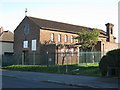
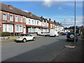
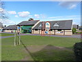
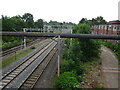
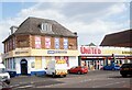
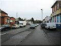


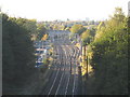
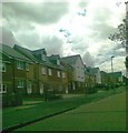

19 photos from this area
Area Information
Key information about the B33 9EG including its size, population, and administrative classification.
- Area Type
- Postcode
- Area Size
- 1.0 hectares
- Population
- 1617
- Population Density
- 7819 people/km²
House Prices in B33 9EG
26
Properties
£141,413
Average Sold Price
£44,950
Lowest Price
£245,000
Highest Price
Showing 26 properties
| Address | Type | Beds | Baths | Last Sale Price | Last Sale Date | |
|---|---|---|---|---|---|---|
| 9 Church Lane, Stechford And Yardley North, Birmingham, B33 9EG | Retail | 3 | 2 | £245,000 | Oct 2022 | |
| 11 Church Lane, Stechford And Yardley North, Birmingham, B33 9EG | house | - | - | £216,000 | Jul 2022 | |
| 61 Church Lane, Stechford And Yardley North, Birmingham, B33 9EG | Semi-detached | 3 | - | £180,000 | Jan 2022 | |
| 59 Church Lane, Stechford And Yardley North, Birmingham, B33 9EG | house | - | - | £154,000 | Dec 2020 | |
| 29 Church Lane, Stechford And Yardley North, Birmingham, B33 9EG | house | - | - | £150,000 | Sep 2020 | |
| 57 Church Lane, Stechford And Yardley North, Birmingham, B33 9EG | Terraced | 3 | 1 | £141,000 | Aug 2019 | |
| 27 Church Lane, Stechford And Yardley North, Birmingham, B33 9EG | Terraced | 3 | 1 | £160,000 | Feb 2019 | |
| 43 Church Lane, Stechford And Yardley North, Birmingham, B33 9EG | house | - | - | £140,000 | Feb 2019 | |
| 1 Church Lane, Stechford And Yardley North, Birmingham, B33 9EG | house | - | - | £102,000 | Oct 2010 | |
| 55 Church Lane, Stechford And Yardley North, Birmingham, B33 9EG | Terraced | - | - | £107,500 | Feb 2007 |
Page 1 of 3
Energy Efficiency in B33 9EG
Amenities
Schools
| Rank | School | Type | Entry gender | Ages |
|---|
Explore more schools in this area
Go to Schools tabDemographics
Household Size
Family (3-5 people)
most common
Accommodation Type
Houses
most common
Tenure
53
majority
Ethnic Group
White
most common
Religion
N/A
most common
Household Composition
N/A
most common
Age
47
median
Adults (30-64 years)
most common
Household Deprivation
N/A
with no deprivation
NS-SEC
14
in Lower managerial occupations
Explore more demographic insights in this area
Go to Demographics tabPlanning
Planning Constraints
- Flood RiskPremium
- Ramsar Wetland SitesPremium
- Area of Outstanding Natural BeautyPremium
- Protected Nature ReservePremium
- Protected WoodlandPremium