Area Overview for B33 9EF
Photos of B33 9EF

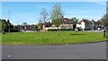

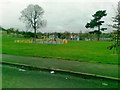

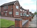


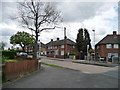

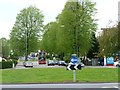
21 photos from this area
Area Information
Key information about the B33 9EF including its size, population, and administrative classification.
- Area Type
- Postcode
- Area Size
- 1.0 hectares
- Population
- 1617
- Population Density
- 7819 people/km²
House Prices in B33 9EF
29
Properties
£98,621
Average Sold Price
£44,500
Lowest Price
£124,950
Highest Price
Showing 29 properties
| Address | Type | Beds | Baths | Last Sale Price | Last Sale Date | |
|---|---|---|---|---|---|---|
| 350 Flaxley Road, Shard End, Birmingham, B33 9EF | Terraced | - | - | £100,000 | Oct 2013 | |
| 400 Flaxley Road, Shard End, Birmingham, B33 9EF | house | - | - | £100,000 | Jul 2011 | |
| 376 Flaxley Road, Shard End, Birmingham, B33 9EF | house | 3 | - | £117,500 | Oct 2010 | |
| 358 Flaxley Road, Shard End, Birmingham, B33 9EF | Semi-detached | - | - | £100,000 | Oct 2008 | |
| 356 Flaxley Road, Shard End, Birmingham, B33 9EF | Terraced | - | - | £124,950 | Jan 2007 | |
| 392 Flaxley Road, Shard End, Birmingham, B33 9EF | Semi-detached | 3 | - | £90,000 | Oct 2006 | |
| 390 Flaxley Road, Shard End, Birmingham, B33 9EF | Semi-detached | 4 | 1 | £90,000 | Jul 2006 | |
| 388 Flaxley Road, Shard End, Birmingham, B33 9EF | house | - | - | £122,000 | May 2006 | |
| 340 Flaxley Road, Shard End, Birmingham, B33 9EF | house | - | - | £120,000 | Feb 2006 | |
| 370 Flaxley Road, Shard End, Birmingham, B33 9EF | house | - | - | £112,000 | Jul 2005 |
Page 1 of 3
Energy Efficiency in B33 9EF
Amenities
Schools
| Rank | School | Type | Entry gender | Ages |
|---|
Explore more schools in this area
Go to Schools tabDemographics
Household Size
Family (3-5 people)
most common
Accommodation Type
Houses
most common
Tenure
53
majority
Ethnic Group
White
most common
Religion
N/A
most common
Household Composition
N/A
most common
Age
47
median
Adults (30-64 years)
most common
Household Deprivation
N/A
with no deprivation
NS-SEC
14
in Lower managerial occupations
Explore more demographic insights in this area
Go to Demographics tabPlanning
Planning Constraints
- Flood RiskPremium
- Ramsar Wetland SitesPremium
- Area of Outstanding Natural BeautyPremium
- Protected Nature ReservePremium
- Protected WoodlandPremium