Area Overview for B33 9EQ
Photos of B33 9EQ

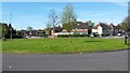
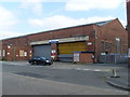
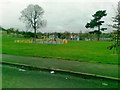
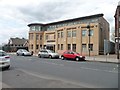
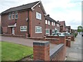
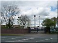

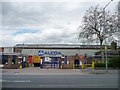
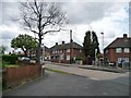
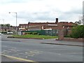
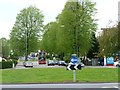
21 photos from this area
Area Information
Key information about the B33 9EQ including its size, population, and administrative classification.
- Area Type
- Postcode
- Area Size
- 4256 m²
- Population
- 1617
- Population Density
- 7819 people/km²
House Prices in B33 9EQ
14
Properties
£99,242
Average Sold Price
£35,500
Lowest Price
£124,950
Highest Price
Showing 14 properties
| Address | Type | Beds | Baths | Last Sale Price | Last Sale Date | |
|---|---|---|---|---|---|---|
| 83 Church Lane, Stechford And Yardley North, Birmingham, B33 9EQ | Terraced | 3 | - | £115,000 | Jun 2016 | |
| 77 Church Lane, Stechford And Yardley North, Birmingham, B33 9EQ | house | - | - | £104,500 | Jul 2013 | |
| 89 Church Lane, Stechford And Yardley North, Birmingham, B33 9EQ | house | 3 | - | £110,500 | Apr 2010 | |
| 69 Church Lane, Stechford And Yardley North, Birmingham, B33 9EQ | Semi-detached | - | - | £124,950 | Feb 2008 | |
| 93 Church Lane, Stechford And Yardley North, Birmingham, B33 9EQ | Terraced | 3 | 1 | £105,000 | Nov 2004 | |
| 75 Church Lane, Stechford And Yardley North, Birmingham, B33 9EQ | Terraced | - | - | £35,500 | Apr 1998 | |
| 67 Church Lane, Stechford And Yardley North, Birmingham, B33 9EQ | house | 3 | 1 | - | - | |
| 95 Church Lane, Stechford And Yardley North, Birmingham, B33 9EQ | house | - | - | - | - | |
| 73 Church Lane, Stechford And Yardley North, Birmingham, B33 9EQ | house | - | - | - | - | |
| 71 Church Lane, Stechford And Yardley North, Birmingham, B33 9EQ | Terraced | - | - | - | - |
Page 1 of 2
Energy Efficiency in B33 9EQ
Amenities
Schools
| Rank | School | Type | Entry gender | Ages |
|---|
Explore more schools in this area
Go to Schools tabDemographics
Household Size
Family (3-5 people)
most common
Accommodation Type
Houses
most common
Tenure
53
majority
Ethnic Group
White
most common
Religion
N/A
most common
Household Composition
N/A
most common
Age
47
median
Adults (30-64 years)
most common
Household Deprivation
N/A
with no deprivation
NS-SEC
14
in Lower managerial occupations
Explore more demographic insights in this area
Go to Demographics tabPlanning
Planning Constraints
- Flood RiskPremium
- Ramsar Wetland SitesPremium
- Area of Outstanding Natural BeautyPremium
- Protected Nature ReservePremium
- Protected WoodlandPremium