Area Overview for B32 1LS
Photos of B32 1LS
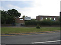
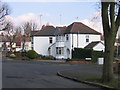
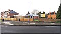
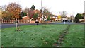
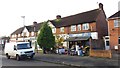
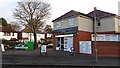
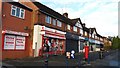
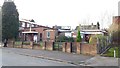
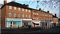
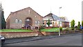
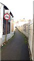

27 photos from this area
Area Information
Key information about the B32 1LS including its size, population, and administrative classification.
- Area Type
- Postcode
- Area Size
- 1.1 hectares
- Population
- 1624
- Population Density
- 6902 people/km²
House Prices in B32 1LS
39
Properties
£125,524
Average Sold Price
£36,500
Lowest Price
£242,500
Highest Price
Showing 39 properties
| Address | Type | Beds | Baths | Last Sale Price | Last Sale Date | |
|---|---|---|---|---|---|---|
| 56 Wedgewood Road, Birmingham, B32 1LS | house | - | - | £193,000 | Jun 2025 | |
| 24 Wedgewood Road, Birmingham, B32 1LS | Semi-detached | 3 | 1 | £242,500 | May 2025 | |
| 22 Wedgewood Road, Birmingham, B32 1LS | Retail | 3 | 1 | £208,000 | Mar 2022 | |
| 30 Wedgewood Road, Birmingham, B32 1LS | Terraced | 3 | - | £147,000 | Oct 2019 | |
| 52 Wedgewood Road, Birmingham, B32 1LS | Semi-detached | 3 | - | £131,000 | Mar 2018 | |
| 12 Wedgewood Road, Birmingham, B32 1LS | house | - | - | £129,950 | Oct 2017 | |
| 58 Wedgewood Road, Birmingham, B32 1LS | Terraced | 3 | 1 | £116,000 | Mar 2016 | |
| 60 Wedgewood Road, Birmingham, B32 1LS | Semi-detached | 3 | 2 | £160,000 | Dec 2010 | |
| 42 Wedgewood Road, Birmingham, B32 1LS | Semi-detached | 3 | - | £110,000 | Mar 2010 | |
| 32 Wedgewood Road, Birmingham, B32 1LS | Semi-detached | 3 | 1 | £120,000 | Dec 2006 |
Page 1 of 4
Energy Efficiency in B32 1LS
Amenities
Schools
| Rank | School | Type | Entry gender | Ages |
|---|
Explore more schools in this area
Go to Schools tabDemographics
Household Size
Family (3-5 people)
most common
Accommodation Type
Houses
most common
Tenure
53
majority
Ethnic Group
White
most common
Religion
N/A
most common
Household Composition
N/A
most common
Age
47
median
Adults (30-64 years)
most common
Household Deprivation
N/A
with no deprivation
NS-SEC
25
in Lower managerial occupations
Explore more demographic insights in this area
Go to Demographics tabPlanning
Planning Constraints
- Flood RiskPremium
- Ramsar Wetland SitesPremium
- Area of Outstanding Natural BeautyPremium
- Protected Nature ReservePremium
- Protected WoodlandPremium