Area Overview for B32 1LT
Photos of B32 1LT
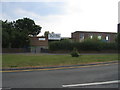
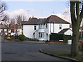
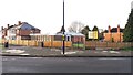
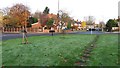
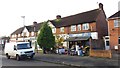
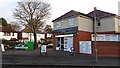
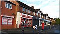
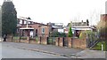
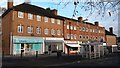
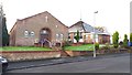
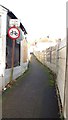
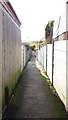
27 photos from this area
Area Information
Key information about the B32 1LT including its size, population, and administrative classification.
- Area Type
- Postcode
- Area Size
- 1.1 hectares
- Population
- 1624
- Population Density
- 6902 people/km²
House Prices in B32 1LT
27
Properties
£117,250
Average Sold Price
£43,000
Lowest Price
£186,000
Highest Price
Showing 27 properties
| Address | Type | Beds | Baths | Last Sale Price | Last Sale Date | |
|---|---|---|---|---|---|---|
| 24 Faraday Avenue, Birmingham, B32 1LT | house | - | - | £186,000 | Jan 2022 | |
| 26 Faraday Avenue, Birmingham, B32 1LT | Terraced | 3 | 1 | £152,500 | Dec 2021 | |
| 56 Faraday Avenue, Birmingham, B32 1LT | Semi-detached | 3 | 1 | £162,000 | Jul 2020 | |
| 48 Faraday Avenue, Birmingham, B32 1LT | Semi-detached | 2 | 2 | £155,000 | Mar 2020 | |
| 22 Faraday Avenue, Birmingham, B32 1LT | Semi-detached | 3 | 1 | £148,000 | Nov 2019 | |
| 28 Faraday Avenue, Birmingham, B32 1LT | house | 3 | - | £90,000 | Jul 2015 | |
| 50 Faraday Avenue, Birmingham, B32 1LT | Semi-detached | 3 | - | £118,000 | Jan 2014 | |
| 38 Faraday Avenue, Birmingham, B32 1LT | house | - | - | £115,000 | Dec 2012 | |
| 68 Faraday Avenue, Birmingham, B32 1LT | Semi-detached | 3 | 1 | £90,000 | Jan 2012 | |
| 66 Faraday Avenue, Birmingham, B32 1LT | Semi-detached | 3 | 1 | £139,000 | Apr 2008 |
Page 1 of 3
Energy Efficiency in B32 1LT
Amenities
Schools
| Rank | School | Type | Entry gender | Ages |
|---|
Explore more schools in this area
Go to Schools tabDemographics
Household Size
Family (3-5 people)
most common
Accommodation Type
Houses
most common
Tenure
53
majority
Ethnic Group
White
most common
Religion
N/A
most common
Household Composition
N/A
most common
Age
47
median
Adults (30-64 years)
most common
Household Deprivation
N/A
with no deprivation
NS-SEC
25
in Lower managerial occupations
Explore more demographic insights in this area
Go to Demographics tabPlanning
Planning Constraints
- Flood RiskPremium
- Ramsar Wetland SitesPremium
- Area of Outstanding Natural BeautyPremium
- Protected Nature ReservePremium
- Protected WoodlandPremium