Area Overview for B28 9LY
Photos of B28 9LY
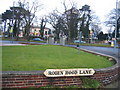
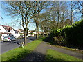
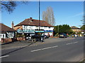
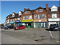
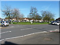
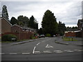
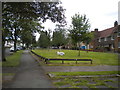

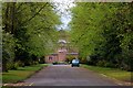
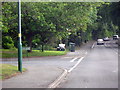
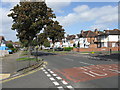
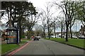
19 photos from this area
Area Information
Key information about the B28 9LY including its size, population, and administrative classification.
- Area Type
- Postcode
- Area Size
- 1.4 hectares
- Population
- 1529
- Population Density
- 6331 people/km²
House Prices in B28 9LY
35
Properties
£193,602
Average Sold Price
£45,000
Lowest Price
£465,500
Highest Price
Showing 35 properties
| Address | Type | Beds | Baths | Last Sale Price | Last Sale Date | |
|---|---|---|---|---|---|---|
| 103 Solihull Lane, Birmingham, B28 9LY | Semi-detached | 3 | 1 | £298,000 | May 2025 | |
| 109 Solihull Lane, Birmingham, B28 9LY | Semi-detached | 3 | 1 | £268,000 | Mar 2025 | |
| 133 Solihull Lane, Birmingham, B28 9LY | Semi-detached | 3 | 1 | £325,000 | May 2024 | |
| 128 Solihull Lane, Birmingham, B28 9LY | Detached | 3 | 1 | £320,000 | Nov 2023 | |
| 134 Solihull Lane, Birmingham, B28 9LY | Bungalow | 2 | 1 | £465,500 | Dec 2022 | |
| 125 Solihull Lane, Birmingham, B28 9LY | Semi-detached | 3 | 1 | £285,000 | Apr 2021 | |
| 112 Solihull Lane, Birmingham, B28 9LY | Semi-detached | 3 | 1 | £220,000 | Feb 2020 | |
| 131 Solihull Lane, Birmingham, B28 9LY | house | - | - | £193,000 | Jan 2016 | |
| 122 Solihull Lane, Birmingham, B28 9LY | house | - | - | £207,000 | Oct 2015 | |
| 120 Solihull Lane, Birmingham, B28 9LY | Semi-detached | - | - | £180,000 | Mar 2014 |
Page 1 of 4
Energy Efficiency in B28 9LY
Amenities
Schools
| Rank | School | Type | Entry gender | Ages |
|---|
Explore more schools in this area
Go to Schools tabDemographics
Household Size
One person
most common
Accommodation Type
Houses
most common
Tenure
77
majority
Ethnic Group
White
most common
Religion
N/A
most common
Household Composition
N/A
most common
Age
47
median
Adults (30-64 years)
most common
Household Deprivation
N/A
with no deprivation
NS-SEC
28
in Lower managerial occupations
Explore more demographic insights in this area
Go to Demographics tabPlanning
Planning Constraints
- Flood RiskPremium
- Ramsar Wetland SitesPremium
- Area of Outstanding Natural BeautyPremium
- Protected Nature ReservePremium
- Protected WoodlandPremium