Area Overview for B28 9LX
Photos of B28 9LX
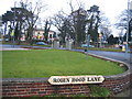
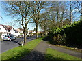
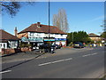
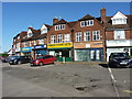
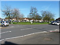
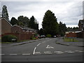
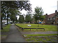

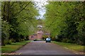
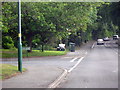
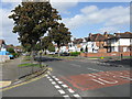
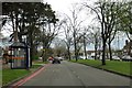
19 photos from this area
Area Information
Key information about the B28 9LX including its size, population, and administrative classification.
- Area Type
- Postcode
- Area Size
- 7542 m²
- Population
- 1529
- Population Density
- 6331 people/km²
House Prices in B28 9LX
18
Properties
£191,923
Average Sold Price
£40,000
Lowest Price
£470,000
Highest Price
Showing 18 properties
| Address | Type | Beds | Baths | Last Sale Price | Last Sale Date | |
|---|---|---|---|---|---|---|
| 85 Solihull Lane, Birmingham, B28 9LX | house | - | - | £470,000 | Nov 2024 | |
| 92 Solihull Lane, Birmingham, B28 9LX | Terraced | 3 | 1 | £227,000 | Feb 2023 | |
| 91 Solihull Lane, Birmingham, B28 9LX | Semi-detached | 3 | 1 | £265,000 | Feb 2021 | |
| 102 Solihull Lane, Birmingham, B28 9LX | house | 3 | 1 | £215,500 | Jan 2021 | |
| 98 Solihull Lane, Birmingham, B28 9LX | house | 3 | 1 | £210,000 | Mar 2019 | |
| 100 Solihull Lane, Birmingham, B28 9LX | house | - | - | £182,500 | Nov 2018 | |
| 110 Solihull Lane, Birmingham, B28 9LX | Terraced | 3 | 1 | £201,000 | Mar 2018 | |
| 106 Solihull Lane, Birmingham, B28 9LX | house | - | - | £150,000 | Sep 2015 | |
| 108 Solihull Lane, Birmingham, B28 9LX | Terraced | 3 | 1 | £128,000 | Sep 2013 | |
| 95 Solihull Lane, Birmingham, B28 9LX | house | - | - | £158,000 | Feb 2012 |
Page 1 of 2
Energy Efficiency in B28 9LX
Amenities
Schools
| Rank | School | Type | Entry gender | Ages |
|---|
Explore more schools in this area
Go to Schools tabDemographics
Household Size
One person
most common
Accommodation Type
Houses
most common
Tenure
77
majority
Ethnic Group
White
most common
Religion
N/A
most common
Household Composition
N/A
most common
Age
47
median
Adults (30-64 years)
most common
Household Deprivation
N/A
with no deprivation
NS-SEC
28
in Lower managerial occupations
Explore more demographic insights in this area
Go to Demographics tabPlanning
Planning Constraints
- Flood RiskPremium
- Ramsar Wetland SitesPremium
- Area of Outstanding Natural BeautyPremium
- Protected Nature ReservePremium
- Protected WoodlandPremium