Area Overview for B28 9NG
Photos of B28 9NG
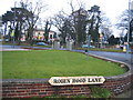
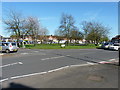
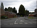
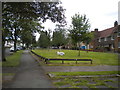


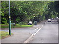
19 photos from this area
Area Information
Key information about the B28 9NG including its size, population, and administrative classification.
- Area Type
- Postcode
- Area Size
- 1.6 hectares
- Population
- 1685
- Population Density
- 4044 people/km²
House Prices in B28 9NG
33
Properties
£218,833
Average Sold Price
£60,000
Lowest Price
£500,000
Highest Price
Showing 33 properties
| Address | Type | Beds | Baths | Last Sale Price | Last Sale Date | |
|---|---|---|---|---|---|---|
| 194 Redstone Farm Road, Olton, Solihull, B28 9NG | Bungalow | 3 | 1 | £397,000 | Feb 2025 | |
| 180 Redstone Farm Road, Olton, Solihull, B28 9NG | house | - | - | £323,000 | Aug 2022 | |
| 178 Redstone Farm Road, Olton, Solihull, B28 9NG | house | - | - | £320,000 | Nov 2021 | |
| 88 Redstone Farm Road, Olton, Solihull, B28 9NG | Semi-detached | 3 | 2 | £215,000 | Apr 2021 | |
| 174 Redstone Farm Road, Olton, Solihull, B28 9NG | Semi-detached | 3 | 1 | £285,500 | Nov 2019 | |
| 92 Redstone Farm Road, Olton, Solihull, B28 9NG | Terraced | 3 | 1 | £154,000 | Sep 2015 | |
| 140 Redstone Farm Road, Olton, Solihull, B28 9NG | Detached | 3 | 2 | £315,000 | Jul 2015 | |
| 184 Redstone Farm Road, Olton, Solihull, B28 9NG | Bungalow | 2 | - | £183,000 | Jul 2014 | |
| 176 Redstone Farm Road, Olton, Solihull, B28 9NG | Semi-detached | 3 | 1 | £182,500 | Jul 2011 | |
| 156 Redstone Farm Road, Olton, Solihull, B28 9NG | house | - | - | £162,000 | Apr 2011 |
Page 1 of 4
Energy Efficiency in B28 9NG
Amenities
Schools
| Rank | School | Type | Entry gender | Ages |
|---|
Explore more schools in this area
Go to Schools tabDemographics
Household Size
Family (3-5 people)
most common
Accommodation Type
Houses
most common
Tenure
77
majority
Ethnic Group
White
most common
Religion
N/A
most common
Household Composition
N/A
most common
Age
47
median
Adults (30-64 years)
most common
Household Deprivation
N/A
with no deprivation
NS-SEC
37
in Lower managerial occupations
Explore more demographic insights in this area
Go to Demographics tabPlanning
Planning Constraints
- Flood RiskPremium
- Ramsar Wetland SitesPremium
- Area of Outstanding Natural BeautyPremium
- Protected Nature ReservePremium
- Protected WoodlandPremium