Area Overview for B27 7SQ
Photos of B27 7SQ
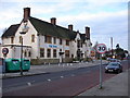
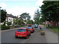
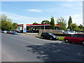
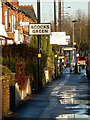
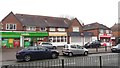
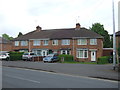
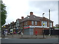
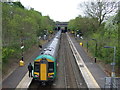
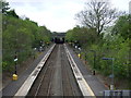
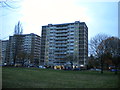
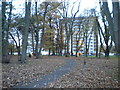
27 photos from this area
Area Information
Key information about the B27 7SQ including its size, population, and administrative classification.
- Area Type
- Postcode
- Area Size
- 4687 m²
- Population
- 1652
- Population Density
- 6737 people/km²
House Prices in B27 7SQ
14
Properties
£142,631
Average Sold Price
£65,000
Lowest Price
£217,000
Highest Price
Showing 14 properties
| Address | Type | Beds | Baths | Last Sale Price | Last Sale Date | |
|---|---|---|---|---|---|---|
| 3 Ingram Grove, Birmingham, B27 7SQ | house | 3 | - | £217,000 | Aug 2022 | |
| 5 Ingram Grove, Birmingham, B27 7SQ | house | - | - | £79,050 | Sep 2021 | |
| 7 Ingram Grove, Birmingham, B27 7SQ | Semi-detached | 3 | 1 | £168,000 | Apr 2020 | |
| 6 Ingram Grove, Birmingham, B27 7SQ | Semi-detached | 3 | - | £150,000 | Dec 2016 | |
| 1 Ingram Grove, Birmingham, B27 7SQ | Semi-detached | 3 | 2 | £165,000 | Aug 2016 | |
| 10 Ingram Grove, Birmingham, B27 7SQ | Semi-detached | - | - | £65,000 | Dec 2015 | |
| 12 Ingram Grove, Birmingham, B27 7SQ | Semi-detached | - | - | £137,000 | Aug 2007 | |
| 2 Ingram Grove, Birmingham, B27 7SQ | Semi-detached | - | - | £160,000 | Mar 2005 | |
| 14 Ingram Grove, Birmingham, B27 7SQ | Terraced | 3 | 1 | - | - | |
| 4 Ingram Grove, Birmingham, B27 7SQ | Semi-detached | - | - | - | - |
Page 1 of 2
Energy Efficiency in B27 7SQ
Amenities
Schools
| Rank | School | Type | Entry gender | Ages |
|---|
Explore more schools in this area
Go to Schools tabDemographics
Household Size
One person
most common
Accommodation Type
Houses
most common
Tenure
40
majority
Ethnic Group
White
most common
Religion
N/A
most common
Household Composition
N/A
most common
Age
47
median
Adults (30-64 years)
most common
Household Deprivation
N/A
with no deprivation
NS-SEC
17
in Lower managerial occupations
Explore more demographic insights in this area
Go to Demographics tabPlanning
Planning Constraints
- Flood RiskPremium
- Ramsar Wetland SitesPremium
- Area of Outstanding Natural BeautyPremium
- Protected Nature ReservePremium
- Protected WoodlandPremium