Area Overview for B27 7SS
Photos of B27 7SS
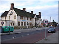
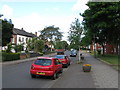
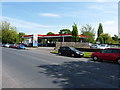
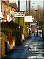
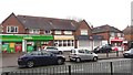
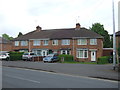
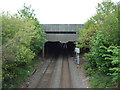
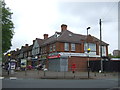
27 photos from this area
Area Information
Key information about the B27 7SS including its size, population, and administrative classification.
- Area Type
- Postcode
- Area Size
- 6443 m²
- Population
- 1652
- Population Density
- 6737 people/km²
House Prices in B27 7SS
19
Properties
£122,278
Average Sold Price
£65,000
Lowest Price
£220,000
Highest Price
Showing 19 properties
| Address | Type | Beds | Baths | Last Sale Price | Last Sale Date | |
|---|---|---|---|---|---|---|
| 2 The Link, Birmingham, B27 7SS | Terraced | 3 | 1 | £187,500 | Apr 2022 | |
| 24 The Link, Birmingham, B27 7SS | Flat | 1 | 1 | £220,000 | Feb 2022 | |
| 6 The Link, Birmingham, B27 7SS | Semi-detached | 4 | 2 | £100,000 | Sep 2018 | |
| 30 The Link, Birmingham, B27 7SS | Semi-detached | 3 | 1 | £120,000 | Aug 2016 | |
| 32 The Link, Birmingham, B27 7SS | Semi-detached | 2 | 1 | £145,000 | Jan 2015 | |
| 4 The Link, Birmingham, B27 7SS | Semi-detached | - | - | £112,500 | Jun 2003 | |
| 34 The Link, Birmingham, B27 7SS | house | - | - | £71,500 | Aug 2002 | |
| 36 The Link, Birmingham, B27 7SS | house | - | - | £79,000 | Jun 2002 | |
| 10 The Link, Birmingham, B27 7SS | house | - | - | £65,000 | Oct 2001 | |
| 20 The Link, Birmingham, B27 7SS | Detached | 3 | 1 | - | - |
Page 1 of 2
Energy Efficiency in B27 7SS
Amenities
Schools
| Rank | School | Type | Entry gender | Ages |
|---|
Explore more schools in this area
Go to Schools tabDemographics
Household Size
One person
most common
Accommodation Type
Houses
most common
Tenure
40
majority
Ethnic Group
White
most common
Religion
N/A
most common
Household Composition
N/A
most common
Age
47
median
Adults (30-64 years)
most common
Household Deprivation
N/A
with no deprivation
NS-SEC
17
in Lower managerial occupations
Explore more demographic insights in this area
Go to Demographics tabPlanning
Planning Constraints
- Flood RiskPremium
- Ramsar Wetland SitesPremium
- Area of Outstanding Natural BeautyPremium
- Protected Nature ReservePremium
- Protected WoodlandPremium