Area Overview for B25 8QU
Photos of B25 8QU
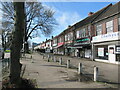
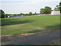
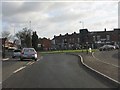
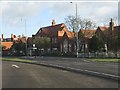
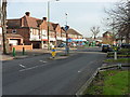
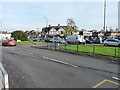
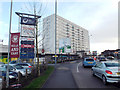
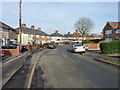
13 photos from this area
Area Information
Key information about the B25 8QU including its size, population, and administrative classification.
- Area Type
- Postcode
- Area Size
- 1.6 hectares
- Population
- 1789
- Population Density
- 8976 people/km²
House Prices in B25 8QU
58
Properties
£107,371
Average Sold Price
£47,500
Lowest Price
£200,000
Highest Price
Showing 58 properties
| Address | Type | Beds | Baths | Last Sale Price | Last Sale Date | |
|---|---|---|---|---|---|---|
| 26 Kestrel Avenue, Birmingham, B25 8QU | Detached | 3 | 1 | £200,000 | Mar 2025 | |
| 32 Kestrel Avenue, Birmingham, B25 8QU | Terraced | 3 | 1 | £171,000 | Feb 2024 | |
| 74 Kestrel Avenue, Birmingham, B25 8QU | Terraced | 3 | 1 | £185,000 | Mar 2023 | |
| 6 Kestrel Avenue, Birmingham, B25 8QU | Flat | - | - | £96,000 | Feb 2023 | |
| 48 Kestrel Avenue, Birmingham, B25 8QU | Flat | - | - | £110,000 | Jan 2023 | |
| 92 Kestrel Avenue, Birmingham, B25 8QU | Maisonette | 2 | 1 | £123,000 | Nov 2022 | |
| 70 Kestrel Avenue, Birmingham, B25 8QU | house | - | - | £155,000 | Jun 2021 | |
| 50 Kestrel Avenue, Birmingham, B25 8QU | Flat | - | - | £80,000 | Dec 2020 | |
| 44 Kestrel Avenue, Birmingham, B25 8QU | Flat | - | - | £100,000 | Nov 2020 | |
| 100 Kestrel Avenue, Birmingham, B25 8QU | Flat | - | - | £96,000 | Jun 2019 |
Page 1 of 6
Energy Efficiency in B25 8QU
Amenities
Schools
| Rank | School | Type | Entry gender | Ages |
|---|
Explore more schools in this area
Go to Schools tabDemographics
Household Size
Family (3-5 people)
most common
Accommodation Type
Houses
most common
Tenure
47
majority
Ethnic Group
asian_total
most common
Religion
N/A
most common
Household Composition
N/A
most common
Age
47
median
Adults (30-64 years)
most common
Household Deprivation
N/A
with no deprivation
NS-SEC
14
in Lower managerial occupations
Explore more demographic insights in this area
Go to Demographics tabPlanning
Planning Constraints
- Flood RiskPremium
- Ramsar Wetland SitesPremium
- Area of Outstanding Natural BeautyPremium
- Protected Nature ReservePremium
- Protected WoodlandPremium