Area Overview for B24 9LT
Photos of B24 9LT
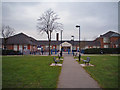
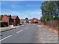
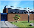
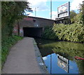
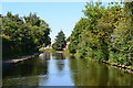
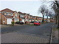
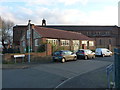
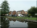
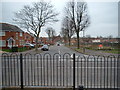
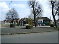
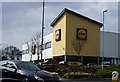
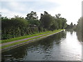
31 photos from this area
Area Information
Key information about the B24 9LT including its size, population, and administrative classification.
- Area Type
- Postcode
- Area Size
- 1.2 hectares
- Population
- 1738
- Population Density
- 3876 people/km²
House Prices in B24 9LT
39
Properties
£150,950
Average Sold Price
£57,000
Lowest Price
£252,000
Highest Price
Showing 39 properties
| Address | Type | Beds | Baths | Last Sale Price | Last Sale Date | |
|---|---|---|---|---|---|---|
| 127 Hollydale Road, Birmingham, B24 9LT | Semi-detached | 3 | 1 | £252,000 | Jan 2025 | |
| 156 Hollydale Road, Birmingham, B24 9LT | Semi-detached | 3 | 1 | £157,000 | Feb 2024 | |
| 107 Hollydale Road, Birmingham, B24 9LT | house | - | - | £233,000 | May 2022 | |
| 117 Hollydale Road, Birmingham, B24 9LT | Semi-detached | 1 | 1 | £216,000 | Dec 2020 | |
| 160 Hollydale Road, Birmingham, B24 9LT | house | - | - | £175,000 | Aug 2020 | |
| 115 Hollydale Road, Birmingham, B24 9LT | Semi-detached | 3 | 1 | £204,000 | Aug 2020 | |
| 192 Hollydale Road, Birmingham, B24 9LT | Semi-detached | 4 | 2 | £205,000 | Jan 2020 | |
| 158 Hollydale Road, Birmingham, B24 9LT | Semi-detached | 3 | 1 | £172,500 | Jan 2019 | |
| 121 Hollydale Road, Birmingham, B24 9LT | house | 3 | - | £179,950 | Aug 2017 | |
| 111 Hollydale Road, Birmingham, B24 9LT | Semi-detached | 3 | - | £132,000 | Jul 2015 |
Page 1 of 4
Energy Efficiency in B24 9LT
Amenities
Schools
| Rank | School | Type | Entry gender | Ages |
|---|
Explore more schools in this area
Go to Schools tabDemographics
Household Size
One person
most common
Accommodation Type
Houses
most common
Tenure
60
majority
Ethnic Group
White
most common
Religion
N/A
most common
Household Composition
N/A
most common
Age
47
median
Adults (30-64 years)
most common
Household Deprivation
N/A
with no deprivation
NS-SEC
24
in Lower managerial occupations
Explore more demographic insights in this area
Go to Demographics tabPlanning
Planning Constraints
- Flood RiskPremium
- Ramsar Wetland SitesPremium
- Area of Outstanding Natural BeautyPremium
- Protected Nature ReservePremium
- Protected WoodlandPremium