Area Overview for B24 0TL
Photos of B24 0TL
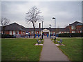
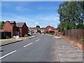
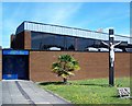
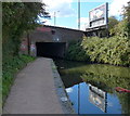
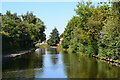
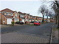
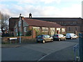
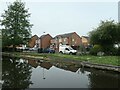
31 photos from this area
Area Information
Key information about the B24 0TL including its size, population, and administrative classification.
- Area Type
- Postcode
- Area Size
- 2.7 hectares
- Population
- 1738
- Population Density
- 3876 people/km²
House Prices in B24 0TL
37
Properties
£110,471
Average Sold Price
£500
Lowest Price
£287,500
Highest Price
Showing 37 properties
| Address | Type | Beds | Baths | Last Sale Price | Last Sale Date | |
|---|---|---|---|---|---|---|
| 1046 Tyburn Road, Birmingham, B24 0TL | Semi-detached | 4 | 1 | £287,500 | Mar 2025 | |
| 1036 Tyburn Road, Birmingham, B24 0TL | house | 3 | 1 | £270,000 | Dec 2022 | |
| 1032 Tyburn Road, Birmingham, B24 0TL | Semi-detached | 4 | 1 | £500 | Feb 2022 | |
| 1018 Tyburn Road, Birmingham, B24 0TL | house | - | - | £162,000 | Feb 2022 | |
| 1052 Tyburn Road, Birmingham, B24 0TL | Semi-detached | - | - | £500 | Feb 2021 | |
| 1028 Tyburn Road, Birmingham, B24 0TL | Semi-detached | 2 | 1 | £165,000 | Feb 2019 | |
| 1026 Tyburn Road, Birmingham, B24 0TL | Semi-detached | 2 | 1 | £143,000 | Aug 2017 | |
| 1034 Tyburn Road, Birmingham, B24 0TL | Semi-detached | 4 | 1 | £174,000 | Apr 2014 | |
| 1010 Tyburn Road, Birmingham, B24 0TL | house | - | - | £120,000 | Nov 2009 | |
| 1050 Tyburn Road, Birmingham, B24 0TL | house | 2 | 1 | £120,000 | Oct 2009 |
Page 1 of 4
Energy Efficiency in B24 0TL
Amenities
Schools
| Rank | School | Type | Entry gender | Ages |
|---|
Explore more schools in this area
Go to Schools tabDemographics
Household Size
One person
most common
Accommodation Type
Houses
most common
Tenure
60
majority
Ethnic Group
White
most common
Religion
N/A
most common
Household Composition
N/A
most common
Age
47
median
Adults (30-64 years)
most common
Household Deprivation
N/A
with no deprivation
NS-SEC
24
in Lower managerial occupations
Explore more demographic insights in this area
Go to Demographics tabPlanning
Planning Constraints
- Flood RiskPremium
- Ramsar Wetland SitesPremium
- Area of Outstanding Natural BeautyPremium
- Protected Nature ReservePremium
- Protected WoodlandPremium