Area Overview for B24 0GE
Photos of B24 0GE
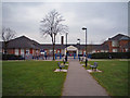
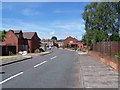
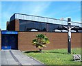
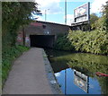
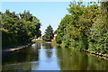
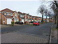
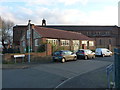
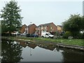
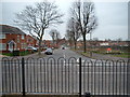
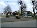
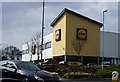
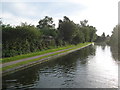
31 photos from this area
Area Information
Key information about the B24 0GE including its size, population, and administrative classification.
- Area Type
- Postcode
- Area Size
- 9104 m²
- Population
- 1738
- Population Density
- 3876 people/km²
House Prices in B24 0GE
34
Properties
£159,946
Average Sold Price
£63,602
Lowest Price
£360,000
Highest Price
Showing 34 properties
| Address | Type | Beds | Baths | Last Sale Price | Last Sale Date | |
|---|---|---|---|---|---|---|
| 12 Waldley Grove, Birmingham, B24 0GE | Detached | 4 | 2 | £360,000 | Jun 2025 | |
| 18 Waldley Grove, Birmingham, B24 0GE | Detached | 3 | 2 | £310,000 | May 2025 | |
| 31 Waldley Grove, Birmingham, B24 0GE | Terraced | 3 | 1 | £250,000 | Jul 2024 | |
| 33 Waldley Grove, Birmingham, B24 0GE | Terraced | 2 | 1 | £212,000 | Nov 2022 | |
| 16 Waldley Grove, Birmingham, B24 0GE | house | - | - | £310,000 | Oct 2022 | |
| 22 Waldley Grove, Birmingham, B24 0GE | Terraced | 2 | 1 | £171,000 | Jun 2021 | |
| 27 Waldley Grove, Birmingham, B24 0GE | Detached | 3 | - | £272,500 | Feb 2021 | |
| 21 Waldley Grove, Birmingham, B24 0GE | Semi-detached | 2 | - | £187,000 | Aug 2020 | |
| 37 Waldley Grove, Birmingham, B24 0GE | Detached | 3 | 2 | £242,000 | Jan 2020 | |
| 35 Waldley Grove, Birmingham, B24 0GE | Terraced | 3 | 2 | £205,000 | Oct 2017 |
Page 1 of 4
Energy Efficiency in B24 0GE
Amenities
Schools
| Rank | School | Type | Entry gender | Ages |
|---|
Explore more schools in this area
Go to Schools tabDemographics
Household Size
One person
most common
Accommodation Type
Houses
most common
Tenure
60
majority
Ethnic Group
White
most common
Religion
N/A
most common
Household Composition
N/A
most common
Age
47
median
Adults (30-64 years)
most common
Household Deprivation
N/A
with no deprivation
NS-SEC
24
in Lower managerial occupations
Explore more demographic insights in this area
Go to Demographics tabPlanning
Planning Constraints
- Flood RiskPremium
- Ramsar Wetland SitesPremium
- Area of Outstanding Natural BeautyPremium
- Protected Nature ReservePremium
- Protected WoodlandPremium