Area Overview for B24 0TS
Photos of B24 0TS
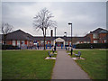
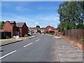
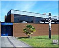
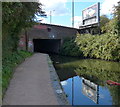
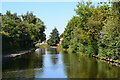
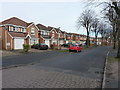
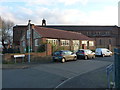
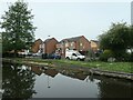
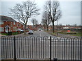
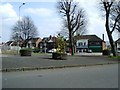
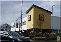
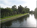
31 photos from this area
Area Information
Key information about the B24 0TS including its size, population, and administrative classification.
- Area Type
- Postcode
- Area Size
- 9443 m²
- Population
- 1490
- Population Density
- 5999 people/km²
House Prices in B24 0TS
40
Properties
£117,000
Average Sold Price
£53,000
Lowest Price
£195,000
Highest Price
Showing 40 properties
| Address | Type | Beds | Baths | Last Sale Price | Last Sale Date | |
|---|---|---|---|---|---|---|
| 7 The Feldings, Birmingham, B24 0TS | house | - | - | £195,000 | Jul 2023 | |
| 44 The Feldings, Birmingham, B24 0TS | house | 3 | - | £160,000 | Dec 2022 | |
| 26 The Feldings, Birmingham, B24 0TS | Semi-detached | 3 | - | £120,000 | Dec 2016 | |
| 22 The Feldings, Birmingham, B24 0TS | Semi-detached | 3 | - | £144,500 | Oct 2016 | |
| 27 The Feldings, Birmingham, B24 0TS | Terraced | 3 | 1 | £155,000 | Sep 2016 | |
| 18 The Feldings, Birmingham, B24 0TS | Semi-detached | 3 | 1 | £107,000 | Aug 2014 | |
| 9 The Feldings, Birmingham, B24 0TS | house | 3 | - | £125,000 | Nov 2012 | |
| 40 The Feldings, Birmingham, B24 0TS | house | - | - | £130,000 | Apr 2007 | |
| 36 The Feldings, Birmingham, B24 0TS | house | - | - | £127,000 | May 2005 | |
| 28 The Feldings, Birmingham, B24 0TS | Semi-detached | 3 | - | £79,500 | Oct 2002 |
Page 1 of 4
Energy Efficiency in B24 0TS
Amenities
Schools
| Rank | School | Type | Entry gender | Ages |
|---|
Explore more schools in this area
Go to Schools tabDemographics
Household Size
Two person
most common
Accommodation Type
Houses
most common
Tenure
67
majority
Ethnic Group
White
most common
Religion
N/A
most common
Household Composition
N/A
most common
Age
47
median
Adults (30-64 years)
most common
Household Deprivation
N/A
with no deprivation
NS-SEC
31
in Lower managerial occupations
Explore more demographic insights in this area
Go to Demographics tabPlanning
Planning Constraints
- Flood RiskPremium
- Ramsar Wetland SitesPremium
- Area of Outstanding Natural BeautyPremium
- Protected Nature ReservePremium
- Protected WoodlandPremium