Area Overview for B24 0TN
Photos of B24 0TN
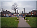
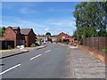
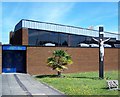
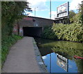
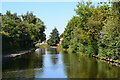
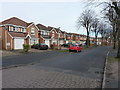
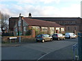
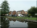
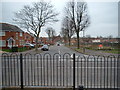
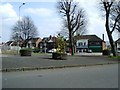
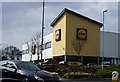
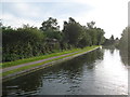
31 photos from this area
Area Information
Key information about the B24 0TN including its size, population, and administrative classification.
- Area Type
- Postcode
- Area Size
- 1.6 hectares
- Population
- 1490
- Population Density
- 5999 people/km²
House Prices in B24 0TN
59
Properties
£99,499
Average Sold Price
£31,500
Lowest Price
£190,000
Highest Price
Showing 59 properties
| Address | Type | Beds | Baths | Last Sale Price | Last Sale Date | |
|---|---|---|---|---|---|---|
| 12 Springthorpe Green, Birmingham, B24 0TN | Terraced | 3 | 1 | £185,500 | Jan 2025 | |
| 83 Springthorpe Green, Birmingham, B24 0TN | Maisonette | 1 | 1 | £103,000 | Dec 2022 | |
| 37 Springthorpe Green, Birmingham, B24 0TN | Retail | 3 | 1 | £190,000 | Dec 2022 | |
| 39 Springthorpe Green, Birmingham, B24 0TN | Terraced | 3 | - | £128,000 | Aug 2015 | |
| 34 Springthorpe Green, Birmingham, B24 0TN | Semi-detached | 3 | - | £124,000 | Nov 2014 | |
| 56 Springthorpe Green, Birmingham, B24 0TN | Terraced | 3 | 1 | £118,500 | Nov 2011 | |
| 43 Springthorpe Green, Birmingham, B24 0TN | Terraced | - | - | £130,000 | Dec 2007 | |
| 52 Springthorpe Green, Birmingham, B24 0TN | Semi-detached | - | - | £130,000 | Nov 2007 | |
| 47 Springthorpe Green, Birmingham, B24 0TN | Terraced | - | - | £129,500 | May 2006 | |
| 24 Springthorpe Green, Birmingham, B24 0TN | Terraced | - | - | £49,000 | Mar 2004 |
Page 1 of 6
Energy Efficiency in B24 0TN
Amenities
Schools
| Rank | School | Type | Entry gender | Ages |
|---|
Explore more schools in this area
Go to Schools tabDemographics
Household Size
Two person
most common
Accommodation Type
Houses
most common
Tenure
67
majority
Ethnic Group
White
most common
Religion
N/A
most common
Household Composition
N/A
most common
Age
47
median
Adults (30-64 years)
most common
Household Deprivation
N/A
with no deprivation
NS-SEC
31
in Lower managerial occupations
Explore more demographic insights in this area
Go to Demographics tabPlanning
Planning Constraints
- Flood RiskPremium
- Ramsar Wetland SitesPremium
- Area of Outstanding Natural BeautyPremium
- Protected Nature ReservePremium
- Protected WoodlandPremium