Area Overview for B21 8PG
Photos of B21 8PG
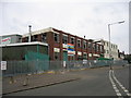
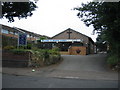
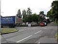
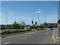
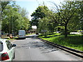
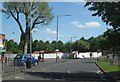
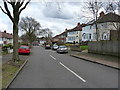
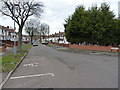
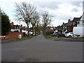
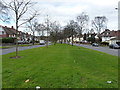
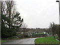
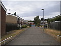
23 photos from this area
Area Information
Key information about the B21 8PG including its size, population, and administrative classification.
- Area Type
- Postcode
- Area Size
- 1.3 hectares
- Population
- Not available
- Population Density
- Not available
House Prices in B21 8PG
37
Properties
£121,464
Average Sold Price
£40,000
Lowest Price
£205,000
Highest Price
Showing 37 properties
| Address | Type | Beds | Baths | Last Sale Price | Last Sale Date | |
|---|---|---|---|---|---|---|
| 42 Cranbrook Road, Birmingham, B21 8PG | Semi-detached | 3 | 1 | £200,000 | May 2024 | |
| 68 Cranbrook Road, Birmingham, B21 8PG | house | 3 | 1 | £205,000 | Jan 2022 | |
| 66 Cranbrook Road, Birmingham, B21 8PG | Semi-detached | 3 | 2 | £203,000 | Mar 2020 | |
| 76 Cranbrook Road, Birmingham, B21 8PG | Semi-detached | 3 | 2 | £165,000 | Jun 2019 | |
| 64 Cranbrook Road, Birmingham, B21 8PG | house | - | - | £188,000 | May 2019 | |
| 40 Cranbrook Road, Birmingham, B21 8PG | Semi-detached | 3 | 1 | £175,000 | Dec 2018 | |
| 54 Cranbrook Road, Birmingham, B21 8PG | Semi-detached | 3 | 1 | £165,000 | Jul 2018 | |
| 112 Cranbrook Road, Birmingham, B21 8PG | Semi-detached | 3 | 1 | £150,000 | Jun 2016 | |
| 94 Cranbrook Road, Birmingham, B21 8PG | Semi-detached | 3 | - | £150,000 | Feb 2014 | |
| 104 Cranbrook Road, Birmingham, B21 8PG | Semi-detached | - | - | £141,000 | Jan 2007 |
Page 1 of 4
Energy Efficiency in B21 8PG
Amenities
Schools
| Rank | School | Type | Entry gender | Ages |
|---|
Explore more schools in this area
Go to Schools tabDemographics
Household Size
Family (3-5 people)
most common
Accommodation Type
Houses
most common
Tenure
80
majority
Ethnic Group
asian_total
most common
Religion
N/A
most common
Household Composition
N/A
most common
Age
47
median
Adults (30-64 years)
most common
Household Deprivation
N/A
with no deprivation
NS-SEC
19
in Lower managerial occupations
Explore more demographic insights in this area
Go to Demographics tabPlanning
Planning Constraints
- Flood RiskPremium
- Ramsar Wetland SitesPremium
- Area of Outstanding Natural BeautyPremium
- Protected Nature ReservePremium
- Protected WoodlandPremium