Area Overview for B21 8PD
Photos of B21 8PD
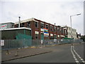
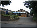
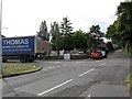
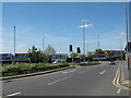
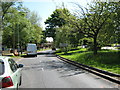
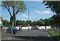
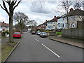
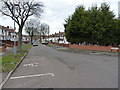
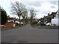
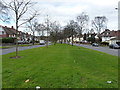
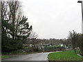
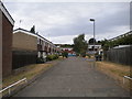
23 photos from this area
Area Information
Key information about the B21 8PD including its size, population, and administrative classification.
- Area Type
- Postcode
- Area Size
- 2.5 hectares
- Population
- Not available
- Population Density
- Not available
House Prices in B21 8PD
45
Properties
£199,188
Average Sold Price
£42,000
Lowest Price
£345,000
Highest Price
Showing 45 properties
| Address | Type | Beds | Baths | Last Sale Price | Last Sale Date | |
|---|---|---|---|---|---|---|
| 145 Sandwell Road, Birmingham, B21 8PD | Semi-detached | 4 | 1 | £345,000 | Mar 2025 | |
| 195 Sandwell Road, Birmingham, B21 8PD | Retail | 4 | 2 | £290,000 | Jun 2022 | |
| 189 Sandwell Road, Birmingham, B21 8PD | house | - | - | £340,000 | Oct 2021 | |
| 133 Sandwell Road, Birmingham, B21 8PD | Semi-detached | 6 | 3 | £311,000 | Sep 2021 | |
| 185 Sandwell Road, Birmingham, B21 8PD | house | 3 | - | £275,000 | Feb 2021 | |
| 201 Sandwell Road, Birmingham, B21 8PD | Semi-detached | 4 | 2 | £320,000 | Aug 2020 | |
| 143 Sandwell Road, Birmingham, B21 8PD | Semi-detached | 4 | 1 | £260,000 | Aug 2020 | |
| 151 Sandwell Road, Birmingham, B21 8PD | Semi-detached | 4 | 2 | £217,000 | Nov 2017 | |
| 131 Sandwell Road, Birmingham, B21 8PD | Semi-detached | 3 | 1 | £169,500 | Mar 2016 | |
| 129 Sandwell Road, Birmingham, B21 8PD | house | - | - | £165,000 | Oct 2015 |
Page 1 of 5
Energy Efficiency in B21 8PD
Amenities
Schools
| Rank | School | Type | Entry gender | Ages |
|---|
Explore more schools in this area
Go to Schools tabDemographics
Household Size
Family (3-5 people)
most common
Accommodation Type
Houses
most common
Tenure
80
majority
Ethnic Group
asian_total
most common
Religion
N/A
most common
Household Composition
N/A
most common
Age
47
median
Adults (30-64 years)
most common
Household Deprivation
N/A
with no deprivation
NS-SEC
19
in Lower managerial occupations
Explore more demographic insights in this area
Go to Demographics tabPlanning
Planning Constraints
- Flood RiskPremium
- Ramsar Wetland SitesPremium
- Area of Outstanding Natural BeautyPremium
- Protected Nature ReservePremium
- Protected WoodlandPremium