Area Overview for B21 8JH
Photos of B21 8JH
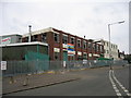
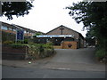

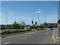
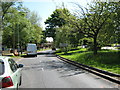
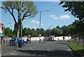
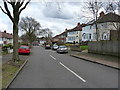
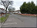
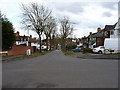
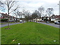
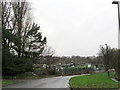
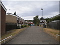
23 photos from this area
Area Information
Key information about the B21 8JH including its size, population, and administrative classification.
- Area Type
- Postcode
- Area Size
- 2.0 hectares
- Population
- 1394
- Population Density
- 1514 people/km²
House Prices in B21 8JH
41
Properties
£158,223
Average Sold Price
£50,000
Lowest Price
£310,000
Highest Price
Showing 41 properties
| Address | Type | Beds | Baths | Last Sale Price | Last Sale Date | |
|---|---|---|---|---|---|---|
| 14 Landgate Road, Birmingham, B21 8JH | Detached | 3 | 1 | £235,000 | May 2025 | |
| 24 Landgate Road, Birmingham, B21 8JH | Semi-detached | 3 | 2 | £228,000 | Mar 2024 | |
| 18 Landgate Road, Birmingham, B21 8JH | Semi-detached | 3 | 2 | £310,000 | Aug 2023 | |
| 42 Landgate Road, Birmingham, B21 8JH | Semi-detached | 3 | 1 | £220,500 | Aug 2023 | |
| 21 Landgate Road, Birmingham, B21 8JH | house | - | - | £217,500 | Mar 2021 | |
| 16 Landgate Road, Birmingham, B21 8JH | house | - | - | £205,000 | Feb 2021 | |
| 10 Landgate Road, Birmingham, B21 8JH | house | - | - | £196,000 | Mar 2019 | |
| 22 Landgate Road, Birmingham, B21 8JH | Semi-detached | 3 | - | £145,000 | Mar 2017 | |
| 20 Landgate Road, Birmingham, B21 8JH | Semi-detached | 3 | - | £161,000 | Oct 2016 | |
| 28 Landgate Road, Birmingham, B21 8JH | Semi-detached | 3 | - | £141,000 | Jun 2015 |
Page 1 of 5
Energy Efficiency in B21 8JH
Amenities
Schools
| Rank | School | Type | Entry gender | Ages |
|---|
Explore more schools in this area
Go to Schools tabDemographics
Household Size
Family (3-5 people)
most common
Accommodation Type
Houses
most common
Tenure
44
majority
Ethnic Group
asian_total
most common
Religion
N/A
most common
Household Composition
N/A
most common
Age
47
median
Adults (30-64 years)
most common
Household Deprivation
N/A
with no deprivation
NS-SEC
18
in Lower managerial occupations
Explore more demographic insights in this area
Go to Demographics tabPlanning
Planning Constraints
- Flood RiskPremium
- Ramsar Wetland SitesPremium
- Area of Outstanding Natural BeautyPremium
- Protected Nature ReservePremium
- Protected WoodlandPremium