Area Overview for B20 2LT
Photos of B20 2LT
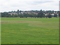
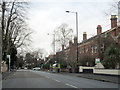
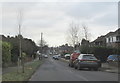
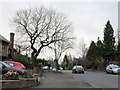
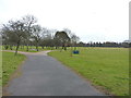
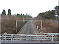
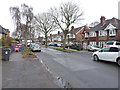
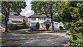
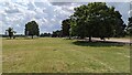
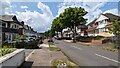
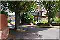
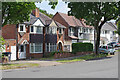
17 photos from this area
Area Information
Key information about the B20 2LT including its size, population, and administrative classification.
- Area Type
- Postcode
- Area Size
- 1.0 hectares
- Population
- 1737
- Population Density
- 3895 people/km²
House Prices in B20 2LT
23
Properties
£153,859
Average Sold Price
£45,500
Lowest Price
£340,000
Highest Price
Showing 23 properties
| Address | Type | Beds | Baths | Last Sale Price | Last Sale Date | |
|---|---|---|---|---|---|---|
| 31 West Avenue, Birmingham, B20 2LT | Semi-detached | 3 | 2 | £340,000 | Sep 2024 | |
| 37 West Avenue, Birmingham, B20 2LT | house | - | - | £60,000 | Jul 2022 | |
| 52 West Avenue, Birmingham, B20 2LT | house | - | - | £297,000 | Aug 2021 | |
| 48 West Avenue, Birmingham, B20 2LT | Semi-detached | 4 | 2 | £240,000 | Feb 2015 | |
| 39 West Avenue, Birmingham, B20 2LT | Semi-detached | 3 | 1 | £185,000 | Oct 2014 | |
| 35 West Avenue, Birmingham, B20 2LT | Semi-detached | 3 | 2 | £163,000 | Jun 2012 | |
| 46 West Avenue, Birmingham, B20 2LT | Semi-detached | - | - | £175,000 | Jun 2007 | |
| 56 West Avenue, Birmingham, B20 2LT | Terraced | - | - | £205,000 | Dec 2006 | |
| 54 West Avenue, Birmingham, B20 2LT | Semi-detached | - | - | £193,500 | Dec 2004 | |
| 38 West Avenue, Birmingham, B20 2LT | Semi-detached | - | - | £142,500 | Jun 2004 |
Page 1 of 3
Energy Efficiency in B20 2LT
Amenities
Schools
| Rank | School | Type | Entry gender | Ages |
|---|
Explore more schools in this area
Go to Schools tabDemographics
Household Size
Family (3-5 people)
most common
Accommodation Type
Houses
most common
Tenure
82
majority
Ethnic Group
asian_total
most common
Religion
N/A
most common
Household Composition
N/A
most common
Age
47
median
Adults (30-64 years)
most common
Household Deprivation
N/A
with no deprivation
NS-SEC
35
in Lower managerial occupations
Explore more demographic insights in this area
Go to Demographics tabPlanning
Planning Constraints
- Flood RiskPremium
- Ramsar Wetland SitesPremium
- Area of Outstanding Natural BeautyPremium
- Protected Nature ReservePremium
- Protected WoodlandPremium