Area Overview for B20 1BP
Photos of B20 1BP
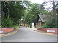
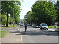
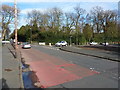
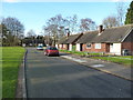
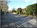
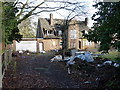
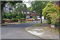
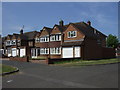
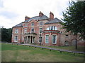
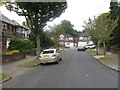
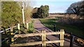
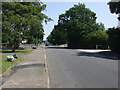
13 photos from this area
Area Information
Key information about the B20 1BP including its size, population, and administrative classification.
- Area Type
- Postcode
- Area Size
- 2.4 hectares
- Population
- 1737
- Population Density
- 3895 people/km²
House Prices in B20 1BP
43
Properties
£185,900
Average Sold Price
£58,000
Lowest Price
£445,000
Highest Price
Showing 43 properties
| Address | Type | Beds | Baths | Last Sale Price | Last Sale Date | |
|---|---|---|---|---|---|---|
| 22 St Christophers, Birmingham, B20 1BP | house | 1 | - | £290,000 | Nov 2022 | |
| 31 St Christophers, Birmingham, B20 1BP | Detached | 4 | 3 | £445,000 | Mar 2020 | |
| 33 St Christophers, Birmingham, B20 1BP | Semi-detached | 4 | 2 | £218,500 | Mar 2018 | |
| 17 St Christophers, Birmingham, B20 1BP | house | - | - | £225,000 | Feb 2017 | |
| 36 St Christophers, Birmingham, B20 1BP | Semi-detached | 5 | 2 | £195,000 | Jul 2016 | |
| 35 St Christophers, Birmingham, B20 1BP | Semi-detached | 4 | 1 | £163,000 | Apr 2015 | |
| 39 St Christophers, Birmingham, B20 1BP | Semi-detached | 4 | 1 | £155,000 | Nov 2014 | |
| 43 St Christophers, Birmingham, B20 1BP | house | 4 | 2 | £147,000 | Nov 2014 | |
| 12 St Christophers, Birmingham, B20 1BP | Detached | 4 | 2 | £270,000 | Oct 2011 | |
| 37 St Christophers, Birmingham, B20 1BP | Semi-detached | - | - | £171,000 | Jul 2008 |
Page 1 of 5
Energy Efficiency in B20 1BP
Amenities
Schools
| Rank | School | Type | Entry gender | Ages |
|---|
Explore more schools in this area
Go to Schools tabDemographics
Household Size
Family (3-5 people)
most common
Accommodation Type
Houses
most common
Tenure
82
majority
Ethnic Group
asian_total
most common
Religion
N/A
most common
Household Composition
N/A
most common
Age
47
median
Adults (30-64 years)
most common
Household Deprivation
N/A
with no deprivation
NS-SEC
35
in Lower managerial occupations
Explore more demographic insights in this area
Go to Demographics tabPlanning
Planning Constraints
- Flood RiskPremium
- Ramsar Wetland SitesPremium
- Area of Outstanding Natural BeautyPremium
- Protected Nature ReservePremium
- Protected WoodlandPremium