Area Overview for B17 0RT
Photos of B17 0RT
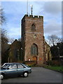
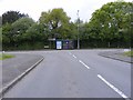

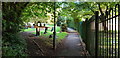
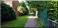
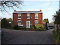
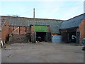
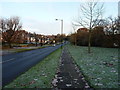
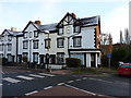
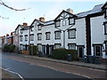
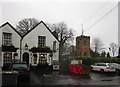
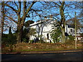
33 photos from this area
Area Information
Key information about the B17 0RT including its size, population, and administrative classification.
- Area Type
- Postcode
- Area Size
- 7135 m²
- Population
- 1609
- Population Density
- 4267 people/km²
House Prices in B17 0RT
18
Properties
£261,573
Average Sold Price
£35,000
Lowest Price
£436,500
Highest Price
Showing 18 properties
| Address | Type | Beds | Baths | Last Sale Price | Last Sale Date | |
|---|---|---|---|---|---|---|
| 97 Weymoor Road, Birmingham, B17 0RT | Semi-detached | 4 | 1 | £436,500 | Jul 2025 | |
| 121 Weymoor Road, Birmingham, B17 0RT | Detached | 3 | 1 | £345,000 | Jul 2025 | |
| 99 Weymoor Road, Birmingham, B17 0RT | Semi-detached | 3 | 1 | £420,000 | Aug 2023 | |
| 113 Weymoor Road, Birmingham, B17 0RT | Semi-detached | 3 | 1 | £322,000 | May 2023 | |
| 103 Weymoor Road, Birmingham, B17 0RT | house | 3 | 1 | £340,000 | Aug 2022 | |
| 117 Weymoor Road, Birmingham, B17 0RT | house | 3 | - | £305,300 | Oct 2021 | |
| 93 Weymoor Road, Birmingham, B17 0RT | Semi-detached | 4 | - | £270,000 | Mar 2018 | |
| 123 Weymoor Road, Birmingham, B17 0RT | Semi-detached | 3 | 1 | £190,000 | Mar 2007 | |
| 101 Weymoor Road, Birmingham, B17 0RT | house | - | - | £138,500 | Dec 2002 | |
| 95 Weymoor Road, Birmingham, B17 0RT | Terraced | - | - | £35,000 | Jul 1998 |
Page 1 of 2
Energy Efficiency in B17 0RT
Amenities
Schools
| Rank | School | Type | Entry gender | Ages |
|---|
Explore more schools in this area
Go to Schools tabDemographics
Household Size
Family (3-5 people)
most common
Accommodation Type
Houses
most common
Tenure
64
majority
Ethnic Group
White
most common
Religion
N/A
most common
Household Composition
N/A
most common
Age
47
median
Adults (30-64 years)
most common
Household Deprivation
N/A
with no deprivation
NS-SEC
42
in Lower managerial occupations
Explore more demographic insights in this area
Go to Demographics tabPlanning
Planning Constraints
- Flood RiskPremium
- Ramsar Wetland SitesPremium
- Area of Outstanding Natural BeautyPremium
- Protected Nature ReservePremium
- Protected WoodlandPremium