Area Overview for B17 0RS
Photos of B17 0RS
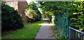
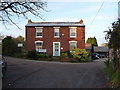
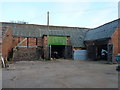
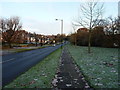
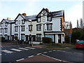
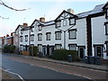
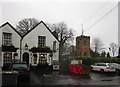
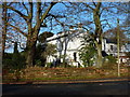
33 photos from this area
Area Information
Key information about the B17 0RS including its size, population, and administrative classification.
- Area Type
- Postcode
- Area Size
- 7009 m²
- Population
- 1609
- Population Density
- 4267 people/km²
House Prices in B17 0RS
21
Properties
£200,961
Average Sold Price
£56,500
Lowest Price
£360,000
Highest Price
Showing 21 properties
| Address | Type | Beds | Baths | Last Sale Price | Last Sale Date | |
|---|---|---|---|---|---|---|
| 55 Weymoor Road, Birmingham, B17 0RS | house | 3 | 1 | £265,000 | Aug 2024 | |
| 67 Weymoor Road, Birmingham, B17 0RS | Retail | 3 | 1 | £360,000 | May 2022 | |
| 77 Weymoor Road, Birmingham, B17 0RS | Semi-detached | 3 | 1 | £275,000 | Aug 2018 | |
| 59 Weymoor Road, Birmingham, B17 0RS | Semi-detached | 3 | 2 | £256,000 | Jun 2016 | |
| 63 Weymoor Road, Birmingham, B17 0RS | Semi-detached | 3 | - | £220,000 | Feb 2016 | |
| 75 Weymoor Road, Birmingham, B17 0RS | Semi-detached | 3 | 1 | £161,500 | Jan 2015 | |
| 65 Weymoor Road, Birmingham, B17 0RS | Semi-detached | 3 | 1 | £192,500 | Dec 2014 | |
| 79 Weymoor Road, Birmingham, B17 0RS | house | - | - | £249,950 | Mar 2014 | |
| 69 Weymoor Road, Birmingham, B17 0RS | Semi-detached | 3 | - | £215,000 | Jul 2012 | |
| 71 Weymoor Road, Birmingham, B17 0RS | Semi-detached | 3 | 1 | £198,000 | Sep 2006 |
Page 1 of 3
Energy Efficiency in B17 0RS
Amenities
Schools
| Rank | School | Type | Entry gender | Ages |
|---|
Explore more schools in this area
Go to Schools tabDemographics
Household Size
Family (3-5 people)
most common
Accommodation Type
Houses
most common
Tenure
64
majority
Ethnic Group
White
most common
Religion
N/A
most common
Household Composition
N/A
most common
Age
47
median
Adults (30-64 years)
most common
Household Deprivation
N/A
with no deprivation
NS-SEC
42
in Lower managerial occupations
Explore more demographic insights in this area
Go to Demographics tabPlanning
Planning Constraints
- Flood RiskPremium
- Ramsar Wetland SitesPremium
- Area of Outstanding Natural BeautyPremium
- Protected Nature ReservePremium
- Protected WoodlandPremium