Area Overview for B17 0RE
Photos of B17 0RE
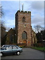
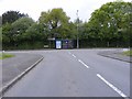
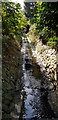
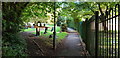
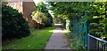
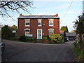
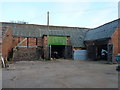
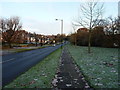
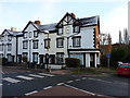
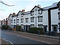
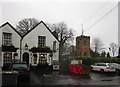
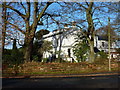
33 photos from this area
Area Information
Key information about the B17 0RE including its size, population, and administrative classification.
- Area Type
- Postcode
- Area Size
- 6548 m²
- Population
- 1609
- Population Density
- 4267 people/km²
House Prices in B17 0RE
16
Properties
£227,077
Average Sold Price
£76,000
Lowest Price
£460,000
Highest Price
Showing 16 properties
| Address | Type | Beds | Baths | Last Sale Price | Last Sale Date | |
|---|---|---|---|---|---|---|
| 334 Quinton Road, Birmingham, B17 0RE | Semi-detached | 4 | 1 | £460,000 | Mar 2024 | |
| 318 Quinton Road, Birmingham, B17 0RE | house | - | - | £340,000 | Jul 2021 | |
| 320 Quinton Road, Birmingham, B17 0RE | house | - | - | £257,000 | Nov 2015 | |
| 340 Quinton Road, Birmingham, B17 0RE | Semi-detached | 3 | - | £209,000 | Jun 2015 | |
| 332 Quinton Road, Birmingham, B17 0RE | Semi-detached | 3 | - | £212,500 | Sep 2014 | |
| 322 Quinton Road, Birmingham, B17 0RE | Semi-detached | 5 | - | £212,500 | Jan 2014 | |
| 316 Quinton Road, Birmingham, B17 0RE | Semi-detached | 3 | - | £185,000 | Apr 2013 | |
| 324 Quinton Road, Birmingham, B17 0RE | house | - | - | £250,000 | Feb 2013 | |
| 344 Quinton Road, Birmingham, B17 0RE | house | - | - | £200,000 | Dec 2010 | |
| 326 Quinton Road, Birmingham, B17 0RE | house | 3 | 1 | £208,000 | Sep 2010 |
Page 1 of 2
Energy Efficiency in B17 0RE
Amenities
Schools
| Rank | School | Type | Entry gender | Ages |
|---|
Explore more schools in this area
Go to Schools tabDemographics
Household Size
Family (3-5 people)
most common
Accommodation Type
Houses
most common
Tenure
64
majority
Ethnic Group
White
most common
Religion
N/A
most common
Household Composition
N/A
most common
Age
47
median
Adults (30-64 years)
most common
Household Deprivation
N/A
with no deprivation
NS-SEC
42
in Lower managerial occupations
Explore more demographic insights in this area
Go to Demographics tabPlanning
Planning Constraints
- Flood RiskPremium
- Ramsar Wetland SitesPremium
- Area of Outstanding Natural BeautyPremium
- Protected Nature ReservePremium
- Protected WoodlandPremium