Area Overview for B17 0NT
Photos of B17 0NT
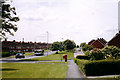
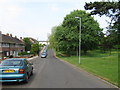
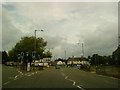
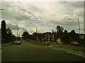
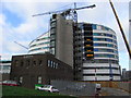


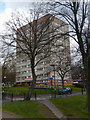
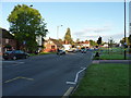
50 photos from this area
Area Information
Key information about the B17 0NT including its size, population, and administrative classification.
- Area Type
- Postcode
- Area Size
- 2.0 hectares
- Population
- 1535
- Population Density
- 5103 people/km²
House Prices in B17 0NT
31
Properties
£199,833
Average Sold Price
£139,500
Lowest Price
£240,000
Highest Price
Showing 31 properties
| Address | Type | Beds | Baths | Last Sale Price | Last Sale Date | |
|---|---|---|---|---|---|---|
| 339A Harborne Lane, Harborne, Birmingham, B17 0NT | Flat | - | - | £240,000 | Apr 2020 | |
| 289 Harborne Lane, Harborne, Birmingham, B17 0NT | Semi-detached | 3 | 1 | £220,000 | Jul 2018 | |
| 291 Harborne Lane, Harborne, Birmingham, B17 0NT | Semi-detached | 4 | 2 | £139,500 | Dec 2006 | |
| Flat 2, 285 Harborne Lane, Harborne, Birmingham, B17 0NT | Flat | 1 | 1 | - | - | |
| Flat Over, 339 Harborne Lane, Harborne, Birmingham, B17 0NT | Semi-detached | 2 | 1 | - | - | |
| 321A Harborne Lane, Harborne, Birmingham, B17 0NT | Flat | 1 | 1 | - | - | |
| 321B Harborne Lane, Harborne, Birmingham, B17 0NT | undefined | - | - | - | - | |
| Flat, 337 Harborne Lane, Harborne, Birmingham, B17 0NT | Flat | 4 | 1 | - | - | |
| Harborne Tyres Ltd, 293 Harborne Lane, Harborne, Birmingham, B17 0NT | Industrial | - | - | - | - | |
| Flat, 313 Harborne Lane, Harborne, Birmingham, B17 0NT | Flat | - | - | - | - |
Page 1 of 4
Energy Efficiency in B17 0NT
Amenities
Schools
| Rank | School | Type | Entry gender | Ages |
|---|
Explore more schools in this area
Go to Schools tabDemographics
Household Size
Family (3-5 people)
most common
Accommodation Type
Houses
most common
Tenure
38
majority
Ethnic Group
White
most common
Religion
N/A
most common
Household Composition
N/A
most common
Age
22
median
Young Adults (15-29 years)
most common
Household Deprivation
N/A
with no deprivation
NS-SEC
26
in Lower managerial occupations
Explore more demographic insights in this area
Go to Demographics tabPlanning
Planning Constraints
- Flood RiskPremium
- Ramsar Wetland SitesPremium
- Area of Outstanding Natural BeautyPremium
- Protected Nature ReservePremium
- Protected WoodlandPremium