Area Overview for B14 5BE
Photos of B14 5BE
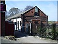
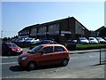
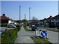
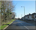
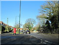

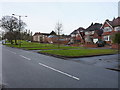
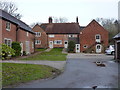
54 photos from this area
Area Information
Key information about the B14 5BE including its size, population, and administrative classification.
- Area Type
- Postcode
- Area Size
- 9281 m²
- Population
- 2795
- Population Density
- 4257 people/km²
House Prices in B14 5BE
24
Properties
£186,643
Average Sold Price
£61,000
Lowest Price
£272,000
Highest Price
Showing 24 properties
| Address | Type | Beds | Baths | Last Sale Price | Last Sale Date | |
|---|---|---|---|---|---|---|
| 36 Broad Lane, Birmingham, B14 5BE | Semi-detached | 3 | 2 | £253,500 | Jun 2021 | |
| 64 Broad Lane, Birmingham, B14 5BE | Detached | 3 | 2 | £272,000 | Jun 2017 | |
| 66 Broad Lane, Birmingham, B14 5BE | house | - | - | £250,000 | Dec 2012 | |
| 78 Broad Lane, Birmingham, B14 5BE | Semi-detached | - | - | £61,000 | Jan 2009 | |
| 48 Broad Lane, Birmingham, B14 5BE | Detached | 4 | 2 | £185,000 | Mar 2007 | |
| 42 Broad Lane, Birmingham, B14 5BE | Semi-detached | 3 | 1 | £215,000 | Apr 2006 | |
| 62 Broad Lane, Birmingham, B14 5BE | Detached | - | - | £70,000 | Mar 1996 | |
| 46 Broad Lane, Birmingham, B14 5BE | Semi-detached | - | - | - | - | |
| 50 Broad Lane, Birmingham, B14 5BE | Semi-detached | - | - | - | - | |
| Former 42, Broad Lane, Birmingham, B14 5BE | Semi-detached | - | - | - | - |
Page 1 of 3
Energy Efficiency in B14 5BE
Amenities
Schools
| Rank | School | Type | Entry gender | Ages |
|---|
Explore more schools in this area
Go to Schools tabDemographics
Household Size
Family (3-5 people)
most common
Accommodation Type
Houses
most common
Tenure
71
majority
Ethnic Group
White
most common
Religion
N/A
most common
Household Composition
N/A
most common
Age
47
median
Adults (30-64 years)
most common
Household Deprivation
N/A
with no deprivation
NS-SEC
37
in Lower managerial occupations
Explore more demographic insights in this area
Go to Demographics tabPlanning
Planning Constraints
- Flood RiskPremium
- Ramsar Wetland SitesPremium
- Area of Outstanding Natural BeautyPremium
- Protected Nature ReservePremium
- Protected WoodlandPremium