Area Overview for B14 5AL
Photos of B14 5AL
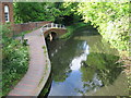
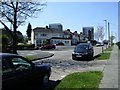
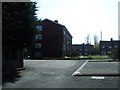
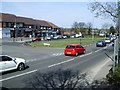
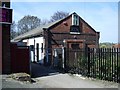
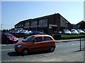
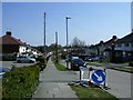
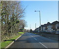
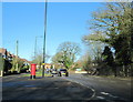

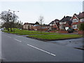
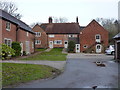
54 photos from this area
Area Information
Key information about the B14 5AL including its size, population, and administrative classification.
- Area Type
- Postcode
- Area Size
- 3.4 hectares
- Population
- 2795
- Population Density
- 4257 people/km²
House Prices in B14 5AL
28
Properties
£242,688
Average Sold Price
£56,000
Lowest Price
£378,000
Highest Price
Showing 28 properties
| Address | Type | Beds | Baths | Last Sale Price | Last Sale Date | |
|---|---|---|---|---|---|---|
| 11 Broad Lane, Birmingham, B14 5AL | Detached | 3 | 1 | £370,000 | Feb 2020 | |
| 15 Broad Lane, Birmingham, B14 5AL | Detached | 3 | 1 | £378,000 | Nov 2018 | |
| 21 Broad Lane, Birmingham, B14 5AL | Detached | 3 | - | £297,000 | Feb 2014 | |
| 17 Broad Lane, Birmingham, B14 5AL | house | - | - | £225,000 | Oct 2010 | |
| 19 Broad Lane, Birmingham, B14 5AL | Detached | 5 | 2 | £233,000 | Dec 2008 | |
| 23 Broad Lane, Birmingham, B14 5AL | Terraced | - | - | £281,500 | May 2008 | |
| 7 Broad Lane, Birmingham, B14 5AL | Semi-detached | 4 | - | £101,000 | Sep 2001 | |
| 31 Broad Lane, Birmingham, B14 5AL | Semi-detached | - | - | £56,000 | Jul 1999 | |
| 29D Broad Lane, Birmingham, B14 5AL | Flat | - | - | - | - | |
| 29A Broad Lane, Birmingham, B14 5AL | Flat | - | - | - | - |
Page 1 of 3
Energy Efficiency in B14 5AL
Amenities
Schools
| Rank | School | Type | Entry gender | Ages |
|---|
Explore more schools in this area
Go to Schools tabDemographics
Household Size
Family (3-5 people)
most common
Accommodation Type
Houses
most common
Tenure
71
majority
Ethnic Group
White
most common
Religion
N/A
most common
Household Composition
N/A
most common
Age
47
median
Adults (30-64 years)
most common
Household Deprivation
N/A
with no deprivation
NS-SEC
37
in Lower managerial occupations
Explore more demographic insights in this area
Go to Demographics tabPlanning
Planning Constraints
- Flood RiskPremium
- Ramsar Wetland SitesPremium
- Area of Outstanding Natural BeautyPremium
- Protected Nature ReservePremium
- Protected WoodlandPremium