Area Overview for B14 4AD
Photos of B14 4AD
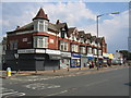
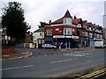
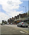
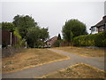
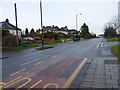
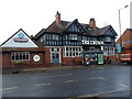
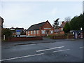
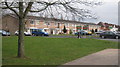

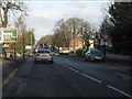
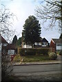
20 photos from this area
Area Information
Key information about the B14 4AD including its size, population, and administrative classification.
- Area Type
- Postcode
- Area Size
- 1.0 hectares
- Population
- Not available
- Population Density
- Not available
House Prices in B14 4AD
42
Properties
£206,295
Average Sold Price
£37,000
Lowest Price
£333,000
Highest Price
Showing 42 properties
| Address | Type | Beds | Baths | Last Sale Price | Last Sale Date | |
|---|---|---|---|---|---|---|
| 4 Beechwood Road, Birmingham, B14 4AD | Terraced | 2 | 1 | £333,000 | Oct 2025 | |
| 50 Beechwood Road, Birmingham, B14 4AD | Terraced | 2 | 1 | £320,000 | Jul 2024 | |
| 14 Beechwood Road, Birmingham, B14 4AD | Terraced | 3 | 1 | £265,000 | Dec 2023 | |
| 34 Beechwood Road, Birmingham, B14 4AD | Terraced | 3 | 1 | £292,000 | Sep 2023 | |
| 32 Beechwood Road, Birmingham, B14 4AD | Terraced | 2 | 1 | £320,000 | Dec 2022 | |
| 8 Beechwood Road, Birmingham, B14 4AD | house | 2 | 1 | £315,000 | Aug 2022 | |
| 58 Beechwood Road, Birmingham, B14 4AD | Terraced | 2 | 1 | £285,650 | Feb 2022 | |
| 72 Beechwood Road, Birmingham, B14 4AD | Terraced | 3 | 1 | £272,000 | Sep 2021 | |
| 42 Beechwood Road, Birmingham, B14 4AD | house | - | - | £284,000 | Mar 2021 | |
| 24 Beechwood Road, Birmingham, B14 4AD | house | - | - | £240,000 | Feb 2021 |
Page 1 of 5
Energy Efficiency in B14 4AD
Amenities
Schools
| Rank | School | Type | Entry gender | Ages |
|---|
Explore more schools in this area
Go to Schools tabDemographics
Household Size
Family (3-5 people)
most common
Accommodation Type
Houses
most common
Tenure
73
majority
Ethnic Group
White
most common
Religion
N/A
most common
Household Composition
N/A
most common
Age
47
median
Adults (30-64 years)
most common
Household Deprivation
N/A
with no deprivation
NS-SEC
38
in Lower managerial occupations
Explore more demographic insights in this area
Go to Demographics tabPlanning
Planning Constraints
- Flood RiskPremium
- Ramsar Wetland SitesPremium
- Area of Outstanding Natural BeautyPremium
- Protected Nature ReservePremium
- Protected WoodlandPremium