Area Overview for B13 0PH
Photos of B13 0PH
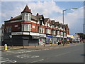
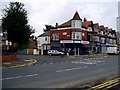
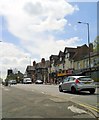
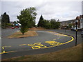
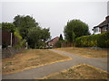
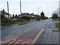
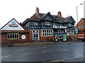
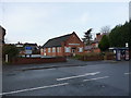
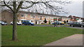

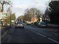
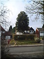
20 photos from this area
Area Information
Key information about the B13 0PH including its size, population, and administrative classification.
- Area Type
- Postcode
- Area Size
- 2842 m²
- Population
- Not available
- Population Density
- Not available
House Prices in B13 0PH
11
Properties
£235,063
Average Sold Price
£123,000
Lowest Price
£400,000
Highest Price
Showing 11 properties
| Address | Type | Beds | Baths | Last Sale Price | Last Sale Date | |
|---|---|---|---|---|---|---|
| 158 Taylor Road, Birmingham, B13 0PH | Terraced | 3 | 1 | £400,000 | Apr 2023 | |
| 162 Taylor Road, Birmingham, B13 0PH | Detached | 4 | - | £395,000 | Jun 2019 | |
| 154 Taylor Road, Birmingham, B13 0PH | Terraced | 4 | 1 | £340,000 | Jun 2017 | |
| 150 Taylor Road, Birmingham, B13 0PH | Terraced | 4 | 1 | £157,500 | Oct 2013 | |
| 156 Taylor Road, Birmingham, B13 0PH | Terraced | 3 | 2 | £158,500 | Sep 2009 | |
| 160 Taylor Road, Birmingham, B13 0PH | Terraced | - | - | £173,500 | Sep 2003 | |
| 146 Taylor Road, Birmingham, B13 0PH | Terraced | - | - | £123,000 | Aug 2002 | |
| 142 Taylor Road, Birmingham, B13 0PH | Terraced | - | - | £133,000 | Jan 2002 | |
| 144 Taylor Road, Birmingham, B13 0PH | house | - | - | - | - | |
| 148 Taylor Road, Birmingham, B13 0PH | Terraced | - | - | - | - |
Page 1 of 2
Energy Efficiency in B13 0PH
Amenities
Schools
| Rank | School | Type | Entry gender | Ages |
|---|
Explore more schools in this area
Go to Schools tabDemographics
Household Size
Family (3-5 people)
most common
Accommodation Type
Houses
most common
Tenure
73
majority
Ethnic Group
White
most common
Religion
N/A
most common
Household Composition
N/A
most common
Age
47
median
Adults (30-64 years)
most common
Household Deprivation
N/A
with no deprivation
NS-SEC
38
in Lower managerial occupations
Explore more demographic insights in this area
Go to Demographics tabPlanning
Planning Constraints
- Flood RiskPremium
- Ramsar Wetland SitesPremium
- Area of Outstanding Natural BeautyPremium
- Protected Nature ReservePremium
- Protected WoodlandPremium